154 Oxford Road, Macclesfield, SK11 8JY
About 154 Oxford Road
154 Oxford Road is a four-bedroom detached house in Macclesfield (SK11 8JY). It has a recorded floor area of 136 m² (around 1464 sq ft), construction records dating it to 1930-1949 and council tax band F. The latest certificate (May 2022) shows a D (score 57), a step below the typical UK home. The recommended improvements would push it to C (score 70). Other recorded features include outbuildings. Period features are noted in the property record.
Today's modelled estimate of £759,000 is 13.3% above the 2022 sale price. On a £-per-square-foot basis, the last sale (£458/sq ft) was about 161.7% above the typical sold price in the postcode. At 136 m² it's 19.5% smaller than the typical home in the postcode (169 m² median across 20 EPCs). Sold November 2022 for £670,000. That sale was during the post-pandemic price surge, when transactions cleared materially above pre-2020 trend.
What this property has
Inside
- Bedrooms4
- Bathrooms2
- CloakroomYes
Outside
- Private gardenYes
- GarageSingle
- OutbuildingsYes
Building
- Period featuresYes
- RefurbishedYes
Everything you need to know about 154 Oxford Road
The true value, the hidden risks and the full sale history, in one report.
30-day money-back guarantee

The data behind every report


Energy performance
154 Oxford Road's carbon output runs well above what efficient homes in the postcode produce.
EPC Rating
Planning history
154 Oxford Road has no planning applications on record.
Notable planning nearby
3applications of note in the surrounding area
Sales history & valuation
The latest sale landed in the post-pandemic price surge — useful context when reading the figure.
£759,000
Modelled from EPC, postcode comparables.
£670,000
Recorded with HM Land Registry.
Sales timeline
11 November 2022Most recent
£670,000
Median price across the last 5 sales in SK11 8JY: £395,000 (2025–2021).
Nearby sales in SK11 8JY
255 Oxford Road, Macclesfield, SK11 8JY
Sold Oct 2025
£395,000148 Oxford Road, Macclesfield, SK11 8JY
Sold Sept 2024
£730,000164 Oxford Road, Macclesfield, SK11 8JY
Sold Nov 2023
£380,000168 Oxford Road, Macclesfield, SK11 8JY
Sold Dec 2021
£372,500269 Oxford Road, Macclesfield, SK11 8JY
Sold Sept 2021
£760,700
Versus other Oxford Road homes
154 Oxford Road outperforms the street on price per m² by a wide margin.
Price per m²
£4,926
Street avg £2,489
Floor Area
136 m²
Street avg 171 m²
Habitable Rooms
6 rooms
Street avg 7 rooms
CO₂ Emissions
7.4 t/year
Street avg 8.0 t/year
Everything you need to know about 154 Oxford Road
The true value, the hidden risks and the full sale history, in one report.
30-day money-back guarantee
The data behind every report
Similar properties nearby
1 Brooklands Avenue
SK11 8LB
1 Appleby Close
SK11 8XB
1 Box Tree Mews
SK11 8QY
1 Arlington Drive
SK11 8QL
1 Alderney Close
SK11 8SP
1 Cambridge Avenue
SK11 8JN
1 Birchinall Close
SK11 8QS
1 Beeston Terrace
SK11 8TJ
The neighbourhood at a glance
Crime
6/mo
Steady year-on-year across the wider district.
Nearest stop
0.2 km
All Hallows Catholic College — bus stop.
Closest school
0.2 km
All Hallows Catholic College. 19 schools nearby.
Go deeper on the local area
The full report breaks down crime, transport links, schools and air quality in depth.
Road noise across the postcode
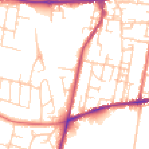
Daytime· 07:00 – 23:00
51.0dB

Night-time· 23:00 – 07:00
41.3dB