15 Cleaver Mews, Macclesfield, SK11 7UA
About 15 Cleaver Mews
15 Cleaver Mews is a two-bedroom mid-terrace house in Macclesfield (SK11 7UA). It has a recorded floor area of 50 m² (around 538 sq ft), construction records dating it to 1991-1995 and council tax band B. The latest certificate (December 2018) shows a C (score 69), just inside the C band. The recommended improvements would push it to B (score 86).
Last sold in August 2015, so it's been off the market for around 11 years. Across the public record there are 4 sales, relatively high churn for a single property. Across 1997–2015, sale prices on this property compounded at 5.6% per year. Today's modelled estimate of £184,000 is 47.8% above the 2015 sale price. On a £-per-square-foot basis, the last sale (£231/sq ft) was about 48.2% above the typical sold price in the postcode.
What this property has
Inside
- Bedrooms2
- Bathrooms1
Everything you need to know about 15 Cleaver Mews
The true value, the hidden risks and the full sale history, in one report.
30-day money-back guarantee

The data behind every report


Energy performance
EPC Rating
Planning history
15 Cleaver Mews has no planning applications on record.
Notable planning nearby
3applications of note in the surrounding area
We flagged 1 thing worth checking at 15 Cleaver Mews
Independent checks surfaced things a buyer would want to understand before offering. The report explains each one in full, with the underlying data and what to ask.
- Larger development activity nearby
30-day money-back guarantee
Sales history & valuation
15 Cleaver Mews has more than doubled in price since the earliest registered sale in 1997.
£184,000
Modelled from EPC, postcode comparables and a sale-price growth of 5.6% per year over 18 years.
£124,500
Growth on file: 5.6% per year over 18 years.
Sales timeline
16 August 2015Most recent
£124,500
22 September 2008
£124,950
-2.0%over 1 year14 June 2007
£127,500
+171.6%over 9 years30 October 1997
£46,950
Median price across the last 5 sales in SK11 7UA: £173,500 (2025–2020).
Nearby sales in SK11 7UA
Versus other Cleaver Mews homes
Price per m²
£2,490
Street avg £2,568
Floor Area
50 m²
Street avg 56 m²
Habitable Rooms
3 rooms
Street avg 4 rooms
CO₂ Emissions
2.1 t/year
Street avg 2.7 t/year
Everything you need to know about 15 Cleaver Mews
The true value, the hidden risks and the full sale history, in one report.
30-day money-back guarantee
The data behind every report
Similar properties nearby
The neighbourhood at a glance
Daytime road noise here sits well below conversation level — a quiet pocket of the postcode.
Crime
6/mo
Steady year-on-year across the wider district.
Nearest stop
0.3 km
Belgrave Road — bus stop.
Closest school
0.2 km
Ash Grove Academy. 15 schools nearby.
Go deeper on the local area
The full report breaks down crime, transport links, schools and air quality in depth.
Road noise across the postcode
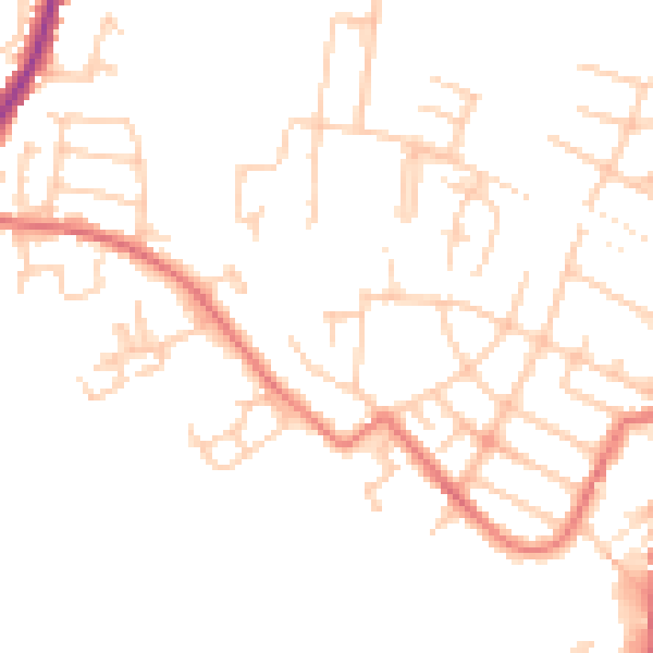
Daytime· 07:00 – 23:00
47.9dB

Night-time· 23:00 – 07:00
38.1dB