5 Braeside Close, Macclesfield, SK11 7LW
About 5 Braeside Close
5 Braeside Close is a detached house in Macclesfield (SK11 7LW). It has a recorded floor area of 61 m² (around 657 sq ft), construction records dating it to 1983-1990 and council tax band D. The latest certificate (February 2015) shows a D (score 63), on the cusp of jumping into the C band. The recommended improvements would lift it to B (score 81), a 2-band jump. The latest certificate is from February 2015, so improvements made since then won't be reflected.
Today's modelled estimate of £324,000 is 30.9% above the 2015 sale price. On a £-per-square-foot basis, the last sale (£377/sq ft) was about 69.3% above the typical sold price in the postcode. Last changed hands 11 years ago, in February 2015. At 61 m² it's 26.1% smaller than the typical home in the postcode (83 m² median across 4 EPCs). One planning record on file: an extension refused in 2015.
Everything you need to know about 5 Braeside Close
The true value, the hidden risks and the full sale history, in one report.
30-day money-back guarantee

The data behind every report


Energy performance
Recommended upgrades on file would lift this property by multiple EPC bands.
EPC Expired
This certificate is over 10 years old and is no longer valid.Expired 03 Feb 2025
EPC Rating
Planning history
- Jun 2015ExtensionOutlineIn report
Extension: Single storey · Rear of property
Certificate of lawfulness for proposed single storey rear extension
- Documents
- 6 docs on file
- Reference
- 15/1997M
We flagged 1 thing worth checking at 5 Braeside Close
Independent checks surfaced things a buyer would want to understand before offering. The report explains each one in full, with the underlying data and what to ask.
- Larger development activity nearby
30-day money-back guarantee
Sales history & valuation
5 Braeside Close valuation sits well clear of the typical sold price in this postcode.
£324,000
Modelled from EPC, postcode comparables.
£247,500
Recorded with HM Land Registry.
Sales timeline
25 February 2015Most recent
£247,500
Median price across the last 5 sales in SK11 7LW: £223,500 (2016–1997).
Versus other Braeside Close homes
On price per m², 5 Braeside Close stands well clear of the street.
Price per m²
£4,057
Street avg £2,605
Floor Area
61 m²
Street avg 85 m²
Habitable Rooms
2 rooms
Street avg 5 rooms
CO₂ Emissions
3.8 t/year
Street avg 4.2 t/year
Everything you need to know about 5 Braeside Close
The true value, the hidden risks and the full sale history, in one report.
30-day money-back guarantee
The data behind every report
Similar properties nearby
The neighbourhood at a glance
Rail-style transport is unusually close for this postcode.
Crime
6/mo
Steady year-on-year across the wider district.
Nearest stop
0.1 km
Cundiff Close — bus stop.
Closest school
0.7 km
Puss Bank School and Nursery. 14 schools nearby.
Go deeper on the local area
The full report breaks down crime, transport links, schools and air quality in depth.
Road noise across the postcode
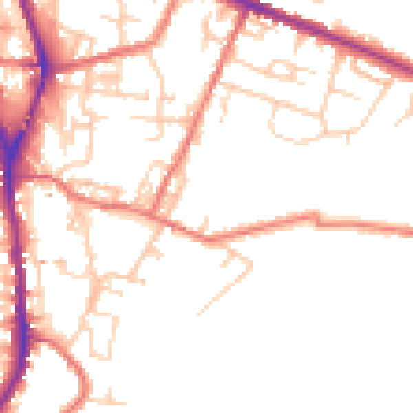
Daytime· 07:00 – 23:00
49.9dB

Night-time· 23:00 – 07:00
40.5dB