35 Buxton Old Road, Macclesfield, SK11 7EL
About 35 Buxton Old Road
35 Buxton Old Road is a three-bedroom semi-detached house in Macclesfield (SK11 7EL). It has a recorded floor area of 116 m² (around 1249 sq ft), construction records dating it to 1930-1949 and council tax band D. The latest certificate (June 2012) shows an E (score 47), well below the UK norm with real room to improve. The recommended improvements would lift it to C (score 77), a 2-band jump. The latest certificate is from June 2012, so improvements made since then won't be reflected.
One planning record on file: an extension approved in 2022. Past consents include an extension, meaningful when judging how the property has evolved. Last changed hands 8 years ago, in February 2018. Across 2000–2018, sale prices on this property compounded at 7.4% per year. Today's modelled estimate of £404,000 is 23.9% above the 2018 sale price.
What this property has
Inside
- Bedrooms3
Everything you need to know about 35 Buxton Old Road
The true value, the hidden risks and the full sale history, in one report.
30-day money-back guarantee

The data behind every report


Energy performance
35 Buxton Old Road's carbon output runs well above what efficient homes in the postcode produce.
EPC Expired
This certificate is over 10 years old and is no longer valid.Expired 20 Jun 2022
EPC Rating
Planning history
Council records include a two-storey side extension at 35 Buxton Old Road.
- Mar 2022ExtensionFullIn report
Extension: Two storey · Side of property
Proposed Double Storey Side Extension
- Documents
- 7 docs on file
- Reference
- 21/5195M
We flagged 1 thing worth checking at 35 Buxton Old Road
Independent checks surfaced things a buyer would want to understand before offering. The report explains each one in full, with the underlying data and what to ask.
- Larger development activity nearby
30-day money-back guarantee
Sales history & valuation
Sale price has grown by over 3x since 2000.
£404,000
Modelled from EPC, postcode comparables and a sale-price growth of 7.4% per year over 17 years.
£326,000
Growth on file: 7.4% per year over 17 years.
Sales timeline
23 February 2018Most recent
£326,000
+44.9%over 5 years5 August 2012
£225,000
+134.4%over 11 years30 November 2000
£96,000
Median price across the last 5 sales in SK11 7EL: £391,075 (2025–2018).
Nearby sales in SK11 7EL
1 Buxton Old Road, Macclesfield, SK11 7EL
Sold Aug 2025
£860,00027 Buxton Old Road, Macclesfield, SK11 7EL
Sold Aug 2022
£367,50026 Buxton Old Road, Macclesfield, SK11 7EL
Sold Oct 2020
£391,07524 Buxton Old Road, Macclesfield, SK11 7EL
Sold May 2019
£240,00019 Buxton Old Road, Macclesfield, SK11 7EL
Sold Oct 2018
£600,000
Versus other Buxton Old Road homes
35 Buxton Old Road is notably below the street on epc rating.
Price per m²
£2,810
Street avg £3,060
Floor Area
116 m²
Street avg 123 m²
Habitable Rooms
6 rooms
Street avg 6 rooms
CO₂ Emissions
7.8 t/year
Street avg 6.0 t/year
Everything you need to know about 35 Buxton Old Road
The true value, the hidden risks and the full sale history, in one report.
30-day money-back guarantee
The data behind every report
Similar properties nearby
The neighbourhood at a glance
Daytime road noise here sits well below conversation level — a quiet pocket of the postcode.
Crime
6/mo
Steady year-on-year across the wider district.
Nearest stop
0.3 km
Forest Cottage — bus stop.
Closest school
0.9 km
Puss Bank School and Nursery. 12 schools nearby.
Go deeper on the local area
The full report breaks down crime, transport links, schools and air quality in depth.
Road noise across the postcode
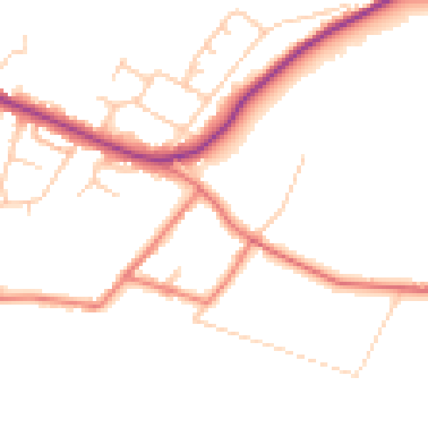
Daytime· 07:00 – 23:00
48.3dB

Night-time· 23:00 – 07:00
39.4dB