8 Nelson Street, Macclesfield, SK11 6UN
About 8 Nelson Street
8 Nelson Street is a two-bedroom property in Macclesfield (SK11 6UN). It has council tax band A.
Untraded for 19 years, with the last transfer in March 2007. That sale landed at the peak of the pre-credit-crunch market, which is a useful reference point when interpreting the price. Across 2000–2007, sale prices on this property compounded at 15.8% per year.
What this property has
Inside
- Bedrooms2
Everything you need to know about 8 Nelson Street
The true value, the hidden risks and the full sale history, in one report.
30-day money-back guarantee

The data behind every report


Energy performance
No EPC on record
This property doesn't have an Energy Performance Certificate yet. An EPC is required to sell or let — and unlocks our automated valuation.
Planning history
8 Nelson Street has no planning applications on record.
Notable planning nearby
3applications of note in the surrounding area
We flagged 1 thing worth checking at 8 Nelson Street
Independent checks surfaced things a buyer would want to understand before offering. The report explains each one in full, with the underlying data and what to ask.
- Larger development activity nearby
30-day money-back guarantee
Sales history & valuation
8 Nelson Street has more than doubled in price since the earliest registered sale in 2000.
£115,000
Growth on file: 15.8% per year over 7 years.
Sales timeline
23 March 2007Most recent
£115,000
+71.6%over 3 years13 April 2003
£67,000
+57.6%over 2 years8 June 2000
£42,500
Median price across the last 5 sales in SK11 6UN: £127,500 (2024–2021).
Nearby sales in SK11 6UN
14 Nelson Street, Macclesfield, SK11 6UN
Sold Jul 2024
£110,00017 Nelson Street, Macclesfield, SK11 6UN
Sold Jul 2024
£230,0005 Nelson Street, Macclesfield, SK11 6UN
Sold Jul 2024
£217,50020 Nelson Street, Macclesfield, SK11 6UN
Sold Feb 2024
£127,5002 Nelson Street, Macclesfield, SK11 6UN
Sold Dec 2021
£118,000
Everything you need to know about 8 Nelson Street
The true value, the hidden risks and the full sale history, in one report.
30-day money-back guarantee
The data behind every report
Similar properties nearby
1 Stanley Place
SK11 6JJ
1 Meadowside, Bridge Street
SK11 6EP
1 Blackshaw Street
SK11 6RR
1 Barton Street
SK11 6RX
1 Great Queen Street
SK11 6EZ
1 South Park Road
SK11 6RP
1 Shaw Street
SK11 6QY
1 Brown Street
SK11 6SA
The neighbourhood at a glance
Rail-style transport is unusually close for this postcode.
Crime
6/mo
Steady year-on-year across the wider district.
Nearest stop
0.1 km
Harvest Printers — bus stop.
Closest school
0.6 km
Parkroyal Community School. 18 schools nearby.
Go deeper on the local area
The full report breaks down crime, transport links, schools and air quality in depth.
Road noise across the postcode
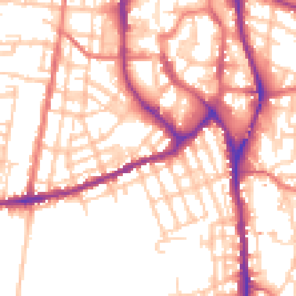
Daytime· 07:00 – 23:00
54.1dB

Night-time· 23:00 – 07:00
44.0dB