22 Brown Street, Macclesfield, SK11 6SA
About 22 Brown Street
22 Brown Street is an end-of-terrace house in Macclesfield (SK11 6SA). It has a recorded floor area of 74 m² (around 797 sq ft) and construction records dating it to 2007-2011. The latest certificate (December 2021) shows a C (score 77), near the top of the C band. The recommended improvements would push it to B (score 90).
At 74 m² the property is well over the postcode median (55 m² across 33 EPCs), placing it in the larger end of the local stock.
Everything you need to know about 22 Brown Street
The true value, the hidden risks and the full sale history, in one report.
30-day money-back guarantee

The data behind every report


Energy performance
EPC Rating
Planning history
22 Brown Street has no planning applications on record.
Notable planning nearby
3applications of note in the surrounding area
We flagged 1 thing worth checking at 22 Brown Street
Independent checks surfaced things a buyer would want to understand before offering. The report explains each one in full, with the underlying data and what to ask.
- Larger development activity nearby
30-day money-back guarantee
Sales history & valuation
22 Brown Street has no Land Registry sales on file, suggesting it has stayed in the same hands since registration began.
£207,000
Modelled from EPC, postcode comparables.
No sales recorded with HM Land Registry
That can mean the property has never traded since the registry began publishing in 1995, was a new build that hasn't been registered yet, or is held in the same hands long-term.
Median price across the last 5 sales in SK11 6SA: £151,000 (2025–2022).
Nearby sales in SK11 6SA
Versus other Brown Street homes
On epc rating, 22 Brown Street stands well clear of the street.
EPC Rating
77 (C)
Street avg 67 (D)
Floor Area
74 m²
Street avg 60 m²
CO₂ Emissions
2.0 t/year
Street avg 2.7 t/year
Habitable Rooms
5 rooms
Street avg 4 rooms
Everything you need to know about 22 Brown Street
The true value, the hidden risks and the full sale history, in one report.
30-day money-back guarantee
The data behind every report
Similar properties nearby
1 Meadowside, Bridge Street
SK11 6EP
1 Stanley Place
SK11 6JJ
1 Blackshaw Street
SK11 6RR
1 Barton Street
SK11 6RX
1 Castle Street
SK11 6AF
1 Great Queen Street
SK11 6EZ
1 Hatton Street
SK11 6RZ
1 South Park Road
SK11 6RP
The neighbourhood at a glance
Rail-style transport is unusually close for this postcode.
Crime
6/mo
Steady year-on-year across the wider district.
Nearest stop
0.2 km
Brown Street — bus stop.
Closest school
0.3 km
Parkroyal Community School. 18 schools nearby.
Go deeper on the local area
The full report breaks down crime, transport links, schools and air quality in depth.
Road noise across the postcode
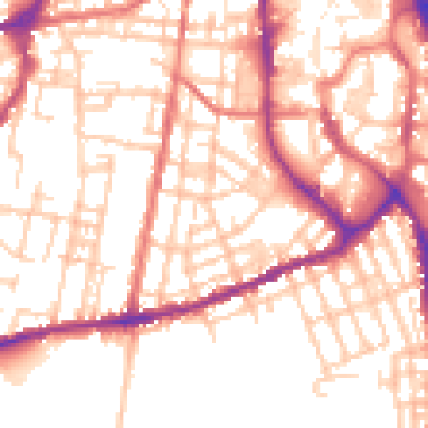
Daytime· 07:00 – 23:00
53.7dB

Night-time· 23:00 – 07:00
43.3dB