4 South Park Road, Macclesfield, SK11 6RP
About 4 South Park Road
4 South Park Road is a semi-detached house in Macclesfield (SK11 6RP). It has a recorded floor area of 54 m² (around 581 sq ft), construction records dating it to 1967-1975 and council tax band A. The latest certificate (November 2018) shows an F (score 34), near the bottom of the EPC scale. The recommended improvements would lift it to D (score 63), a 2-band jump. Main heating runs on electricity. At 54 m² this is the 22nd smallest of 41 units on EPC record in the building, where floor areas span 38–84 m². The building's EPC ratings span F to C, with this unit at the bottom. On EPC score it ranks last in the building (34 versus a best of 79).
On energy efficiency it sits in the bottom 10% of properties in this postcode — significant headroom for improvement. Across 2010–2019, sale prices on this property compounded at 2.7% per year. Today's modelled estimate of £112,000 is 48.3% above the 2019 sale price. On a £-per-square-foot basis, the last sale (£130/sq ft) was about 19.5% below the postcode norm. Most recent transfer: February 2019 at £75,500.
Everything you need to know about 4 South Park Road
The true value, the hidden risks and the full sale history, in one report.
30-day money-back guarantee

The data behind every report


Energy performance
4 South Park Road sits at the bottom of the postcode for energy efficiency — meaningful headroom to improve.
EPC Rating
Planning history
4 South Park Road has no planning applications on record.
Notable planning nearby
3applications of note in the surrounding area
We flagged 1 thing worth checking at 4 South Park Road
Independent checks surfaced things a buyer would want to understand before offering. The report explains each one in full, with the underlying data and what to ask.
- Larger development activity nearby
30-day money-back guarantee
Sales history & valuation
£112,000
Modelled from EPC, postcode comparables and a sale-price growth of 2.7% per year over 9 years.
£75,500
Growth on file: 2.7% per year over 9 years.
Sales timeline
6 February 2019Most recent
£75,500
+25.8%over 8 years28 April 2010
£60,000
Median price across the last 5 sales in SK11 6RP: £163,500 (2025–2024).
Nearby sales in SK11 6RP
46 South Park Road, Macclesfield, SK11 6RP
Sold Aug 2025
£99,2005 South Park Road, Macclesfield, SK11 6RP
Sold May 2025
£138,00022 South Park Road, Macclesfield, SK11 6RP
Sold Mar 2025
£163,50033 South Park Road, Macclesfield, SK11 6RP
Sold Feb 2025
£193,0003 South Park Road, Macclesfield, SK11 6RP
Sold Oct 2024
£175,000
Versus other South Park Road homes
Price per m² for 4 South Park Road lags the street by a wide margin.
Price per m²
£1,398
Street avg £1,740
Floor Area
54 m²
Street avg 49 m²
Habitable Rooms
4 rooms
Street avg 3 rooms
CO₂ Emissions
7.5 t/year
Street avg 2.4 t/year
Everything you need to know about 4 South Park Road
The true value, the hidden risks and the full sale history, in one report.
30-day money-back guarantee
The data behind every report
Similar properties nearby
1 Grapes Court, Lord Street
SK11 6SY
1 Simpsons Court, Great King Street
SK11 6PX
1 Silk Mill, Mill Road
SK11 6TE
1 James Place
SK11 6GE
1 Brown Street
SK11 6SA
1 Albert Street
SK11 6PT
1 Langford Street
SK11 6PP
1 Broderick Street
SK11 6RD
The neighbourhood at a glance
Rail-style transport is unusually close for this postcode.
Crime
6/mo
Steady year-on-year across the wider district.
Nearest stop
0.2 km
Park Road — bus stop.
Closest school
0.3 km
Parkroyal Community School. 19 schools nearby.
Go deeper on the local area
The full report breaks down crime, transport links, schools and air quality in depth.
Road noise across the postcode
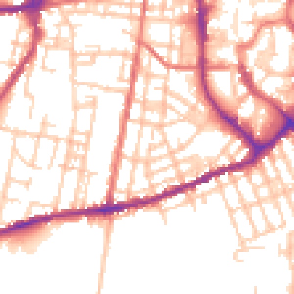
Daytime· 07:00 – 23:00
52.8dB

Night-time· 23:00 – 07:00
42.6dB