12 Shaw Street, Macclesfield, SK11 6QY
About 12 Shaw Street
12 Shaw Street is a two-bedroom mid-terrace house in Macclesfield (SK11 6QY). It has a recorded floor area of 53 m² (around 570 sq ft), construction records dating it to before 1900 and council tax band B. The latest certificate (June 2023) shows a D (score 67), on the cusp of jumping into the C band. The recommended improvements would lift it to B (score 90), a 2-band jump.
Sold March 2024 for £142,500. Across the public record there are 4 sales, relatively high churn for a single property. Across 2001–2024, sale prices on this property compounded at 4.5% per year. Today's modelled estimate of £162,000 is 13.7% above the 2024 sale price. On a £-per-square-foot basis, the last sale (£250/sq ft) was about 100.8% above the typical sold price in the postcode. At 53 m² it's 24.3% smaller than the typical home in the postcode (70 m² median across 30 EPCs).
What this property has
Inside
- Bedrooms2
- Bathrooms1
- Dining roomYes
Outside
- Private gardenRear
Building
- Heating systemGas
Everything you need to know about 12 Shaw Street
The true value, the hidden risks and the full sale history, in one report.
30-day money-back guarantee

The data behind every report


Energy performance
Recommended upgrades on file would lift this property by multiple EPC bands.
EPC Rating
Planning history
12 Shaw Street has no planning applications on record.
Notable planning nearby
3applications of note in the surrounding area
We flagged 1 thing worth checking at 12 Shaw Street
Independent checks surfaced things a buyer would want to understand before offering. The report explains each one in full, with the underlying data and what to ask.
- Larger development activity nearby
30-day money-back guarantee
Sales history & valuation
12 Shaw Street has more than doubled in price since the earliest registered sale in 2001.
£162,000
Modelled from EPC, postcode comparables and a sale-price growth of 4.5% per year over 23 years.
£142,500
Growth on file: 4.5% per year over 23 years.
Sales timeline
8 March 2024Most recent
£142,500
+85.1%over 20 years22 May 2003
£77,000
+40.0%over 1 year14 October 2001
£55,000
+6.8%over 8 months9 February 2001
£51,500
Median price across the last 5 sales in SK11 6QY: £155,000 (2025–2023).
Nearby sales in SK11 6QY
Versus other Shaw Street homes
Floor Area for 12 Shaw Street lags the street by a wide margin.
Price per m²
£2,689
Street avg £1,744
Floor Area
53 m²
Street avg 77 m²
Habitable Rooms
4 rooms
Street avg 4 rooms
CO₂ Emissions
2.6 t/year
Street avg 3.4 t/year
Everything you need to know about 12 Shaw Street
The true value, the hidden risks and the full sale history, in one report.
30-day money-back guarantee
The data behind every report
Similar properties nearby
1 Shaw Street
SK11 6QY
1 South Park Road
SK11 6RP
1 Great Queen Street
SK11 6EZ
1 Barton Street
SK11 6RX
1 Blackshaw Street
SK11 6RR
1 Stanley Place
SK11 6JJ
1 Meadowside, Bridge Street
SK11 6EP
1 Brown Street
SK11 6SA
The neighbourhood at a glance
Rail-style transport is unusually close for this postcode.
Crime
6/mo
Steady year-on-year across the wider district.
Nearest stop
0.1 km
Henderson Street — bus stop.
Closest school
0.2 km
Parkroyal Community School. 19 schools nearby.
Go deeper on the local area
The full report breaks down crime, transport links, schools and air quality in depth.
Road noise across the postcode
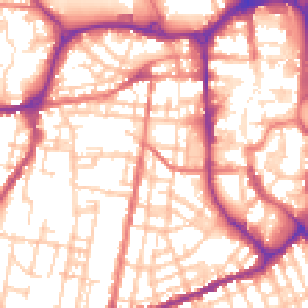
Daytime· 07:00 – 23:00
56.2dB

Night-time· 23:00 – 07:00
45.5dB