9 Hill View, Buckland, Buntingford, SG9 0PL
About 9 Hill View
9 Hill View is a three-bedroom property in Buckland, Buntingford, Buntingford (SG9 0PL). It has council tax band C.
Untraded for 19 years, with the last transfer in July 2007. That sale landed at the peak of the pre-credit-crunch market, which is a useful reference point when interpreting the price. 3 planning records sit against the property, 2 approved, 1 refused. Past consents include an extension, meaningful when judging how the property has evolved.
Know exactly what you're buying at 9 Hill View
Before you offer, see what the listing won't tell you, the true value, the red flags and the full history.
Already flagged here
Valuation
against the asking price
Risks
planning & flood
Sold prices
similar homes nearby
Trends
the local market
What this property has
Inside
- Bedrooms3
Energy performance
No EPC on record
This property doesn't have an Energy Performance Certificate yet. An EPC is required to sell or let — and unlocks our automated valuation.
Planning history
Council records include a two-storey side extension at 9 Hill View.
- May 2015FullIn report
Creation of a vehicular crossover
- Documents
- 6 docs on file
- Reference
- 3/15/0692/HH
- Nov 2007ExtensionFullIn report
Extension: Single storey · Rear of property
Single storey rear extension, double garage, and increased window size to bedroom 1
- Documents
- 1 doc on file
- Reference
- 3/07/1895/FP
We flagged 1 thing worth checking at 9 Hill View
Independent checks surfaced things a buyer would want to understand before offering. The report explains each one in full, with the underlying data and what to ask.
- Larger development activity nearby
30-day money-back guarantee
Sales history & valuation
The latest sale landed at the peak of the pre-credit-crunch market — a high-water reference point.
£245,000
Recorded with HM Land Registry.
Sales timeline
26 July 2007Most recent
£245,000
Median price across the last 5 sales in SG9 0PL: £320,000 (2025–2012).
Nearby sales in SG9 0PL
15 Hill View, Buckland, Buntingford, SG9 0PL
Sold Mar 2025
£320,00016 Hill View, Buckland, Buntingford, SG9 0PL
Sold Jun 2023
£520,0006 Hill View, Buckland, Buntingford, SG9 0PL
Sold Oct 2020
£327,5003 Hill View, Buckland, Buntingford, SG9 0PL
Sold Nov 2012
£200,00010 Hill View, Buckland, Buntingford, SG9 0PL
Sold Mar 2004
£195,000
Everything we know about 9 Hill View, in one report
What it's really worth, what could be wrong, and the planning, sales and area data in full.
What we flagged
- Larger development activity nearby

Similar properties nearby
1 Brick Cottage, The Street, Furneux Pelham
SG9 0LD
1 Grove Cottages, Stocking Pelham
SG9 0JA
1 Brookside, Chipping
SG9 0PH
1 Grays Cottages, Brent Pelham
SG9 0HL
1 Daws End Cottages, Anstey
SG9 0DA
1 Hall Cottages, Chipping
SG9 0PQ
1 Bury Field Cottages, Anstey
SG9 0BX
1 Brick Cottages, Buckland
SG9 0PR
The neighbourhood at a glance
Daytime road noise here sits well below conversation level — a quiet pocket of the postcode.
Crime
5/mo
Steady year-on-year across the wider district.
Nearest stop
0.0 km
Whiteley Lane — bus stop.
Go deeper on the local area
The full report breaks down crime, transport links, schools and air quality in depth.
Road noise across the postcode
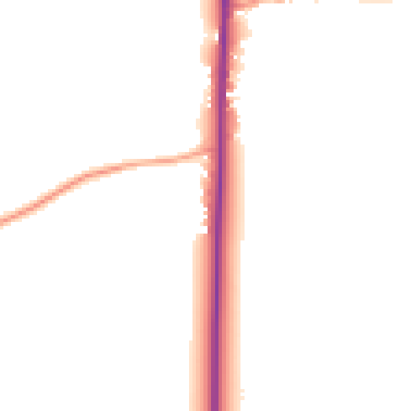
Daytime· 07:00 – 23:00
46.3dB

Night-time· 23:00 – 07:00
39.8dB