9 Jessop Road, Stevenage, SG1 5LG
About 9 Jessop Road
9 Jessop Road is a one-bedroom mid-terrace house in Stevenage (SG1 5LG). It has a recorded floor area of 114 m² (around 1227 sq ft), construction records dating it to 1967-1975 and council tax band C. The latest certificate (January 2019) shows a D (score 57), a step below the typical UK home. The recommended improvements would push it to C (score 79).
Held since April 2006 — that's 20 years off the open market, well above the local norm. Across 1997–2006, sale prices on this property compounded at 12.3% per year. Today's modelled estimate of £298,000 sits 120.7% above the 2006 sale of £135,000. 1 bedrooms is on the smaller side for this postcode, where 3 is the typical count.
Know exactly what you're buying at 9 Jessop Road
Before you offer, see what the listing won't tell you, the true value, the red flags and the full history.
Already flagged here
Valuation
against the asking price
Risks
planning & flood
Sold prices
similar homes nearby
Trends
the local market
What this property has
Inside
- Bedrooms1
- Bathrooms1
Energy performance
9 Jessop Road's carbon output runs well above what efficient homes in the postcode produce.
EPC Rating
Planning history
9 Jessop Road has no planning applications on record.
Notable planning nearby
8applications of note in the surrounding area
We flagged 2 things worth checking at 9 Jessop Road
Independent checks surfaced things a buyer would want to understand before offering. The report explains each one in full, with the underlying data and what to ask.
- Signs of HMO activity in the area
- Larger development activity nearby
30-day money-back guarantee
Sales history & valuation
Sale price has at least doubled since 1997.
£298,000
Modelled from EPC, postcode comparables and a sale-price growth of 12.3% per year over 9 years.
£135,000
Growth on file: 12.3% per year over 9 years.
Sales timeline
18 April 2006Most recent
£135,000
+175.5%over 8 years20 July 1997
£49,000
Median price across the last 5 sales in SG1 5LG: £250,000 (2025–2014).
Everything we know about 9 Jessop Road, in one report
What it's really worth, what could be wrong, and the planning, sales and area data in full.
What we flagged
- Signs of HMO activity in the area
- Larger development activity nearby

Versus other Jessop Road homes
On price per m², 9 Jessop Road runs well behind the street norm.
Price per m²
£1,184
Street avg £1,823
Floor Area
114 m²
Street avg 110 m²
Habitable Rooms
7 rooms
Street avg 6 rooms
CO₂ Emissions
6.1 t/year
Street avg 4.0 t/year
Similar properties nearby
The neighbourhood at a glance
Reported crime in the wider district is trending notably upward year-on-year.
Crime
20/mo
Rising year-on-year across the wider district.
Nearest stop
0.2 km
The Oval Centre — bus stop.
Closest school
0.3 km
Giles Junior School. 28 schools nearby.
Go deeper on the local area
The full report breaks down crime, transport links, schools and air quality in depth.
Road noise across the postcode
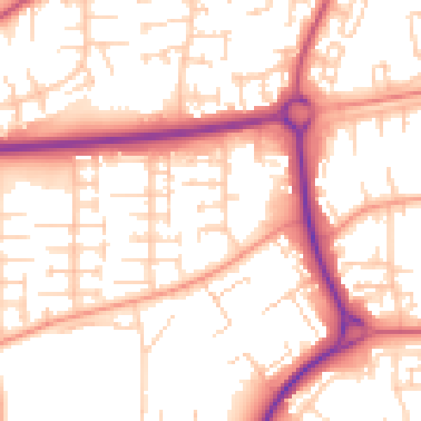
Daytime· 07:00 – 23:00
54.2dB

Night-time· 23:00 – 07:00
43.9dB