5a, Coventry Close, Stevenage, SG1 4PA
About 5a
5a is a two-bedroom end-of-terrace house in Stevenage (SG1 4PA). It has a recorded floor area of 62 m² (around 667 sq ft), construction records dating it to 1967-1975 and council tax band B. The latest certificate (July 2020) shows a D (score 67), on the cusp of jumping into the C band. The recommended improvements would lift it to B (score 87), a 2-band jump.
Today's modelled estimate of £292,000 is 19.2% above the 2020 sale price. On a £-per-square-foot basis, the last sale (£367/sq ft) was about 120.3% above the typical sold price in the postcode. At 62 m² it's 24.4% smaller than the typical home in the postcode (82 m² median across 14 EPCs). Most recent transfer: December 2020 at £245,000.
Know exactly what you're buying at 5a
Before you offer, see what the listing won't tell you, the true value, the red flags and the full history.
Already flagged here
Valuation
against the asking price
Risks
planning & flood
Sold prices
similar homes nearby
Trends
the local market
What this property has
Inside
- Bedrooms2
- Bathrooms1
- Dining roomYes
Outside
- Private gardenYes
Building
- Central heatingYes
- RefurbishedYes
Energy performance
Recommended upgrades on file would lift this property by multiple EPC bands.
EPC Rating
Planning history
5a has no planning applications on record.
Notable planning nearby
23applications of note in the surrounding area
We flagged 2 things worth checking at 5a
Independent checks surfaced things a buyer would want to understand before offering. The report explains each one in full, with the underlying data and what to ask.
- Signs of HMO activity in the area
- Larger development activity nearby
30-day money-back guarantee
Sales history & valuation
The latest sale landed in the post-pandemic price surge — useful context when reading the figure.
£292,000
Modelled from EPC, postcode comparables.
£245,000
Recorded with HM Land Registry.
Sales timeline
17 December 2020Most recent
£245,000
Median price across the last 5 sales in SG1 4PA: £248,000 (2025–2014).
Nearby sales in SG1 4PA
Everything we know about 5a, in one report
What it's really worth, what could be wrong, and the planning, sales and area data in full.
What we flagged
- Signs of HMO activity in the area
- Larger development activity nearby

Versus other Coventry Close homes
On price per m², 5a stands well clear of the street.
Price per m²
£3,952
Street avg £2,618
Floor Area
62 m²
Street avg 76 m²
Habitable Rooms
4 rooms
Street avg 4 rooms
CO₂ Emissions
2.8 t/year
Street avg 3.3 t/year
Similar properties nearby
1 Crambus Court, Admiral Drive
SG1 4GN
1 Beverley Road
SG1 4PR
1 Chapman Road
SG1 4RJ
1 Anise Court, Admiral Drive
SG1 4GA
1 Admiral Drive
SG1 4FL
1 Birdwing Walk
SG1 4FT
1 Cranbourne Court, Ingleside Drive
SG1 4RE
1 Burymead
SG1 4AX
The neighbourhood at a glance
Reported crime in the wider district is trending notably upward year-on-year.
Crime
20/mo
Rising year-on-year across the wider district.
Nearest stop
0.0 km
Coventry Close — bus stop.
Closest school
0.4 km
Giles Junior School. 23 schools nearby.
Go deeper on the local area
The full report breaks down crime, transport links, schools and air quality in depth.
Road noise across the postcode
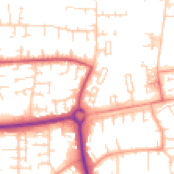
Daytime· 07:00 – 23:00
52.4dB

Night-time· 23:00 – 07:00
42.1dB