The Firs, Rectory Lane, Stevenage, SG1 4DA
About The Firs
The Firs is a detached house in Stevenage (SG1 4DA). It has a recorded floor area of 180 m² (around 1939 sq ft), construction records dating it to 1983-1990 and council tax band G. The latest certificate (September 2008) shows a D (score 56), a step below the typical UK home. The latest certificate is from September 2008, so improvements made since then won't be reflected.
Untraded for 19 years, with the last transfer in December 2006. Across 1999–2006, sale prices on this property compounded at 10.5% per year. Today's modelled estimate of £889,000 sits 51.3% above the 2006 sale of £587,500.
Know exactly what you're buying at The Firs
Before you offer, see what the listing won't tell you, the true value, the red flags and the full history.
Already flagged here
Valuation
against the asking price
Risks
planning & flood
Sold prices
similar homes nearby
Trends
the local market
Energy performance
The Firs's carbon output runs well above what efficient homes in the postcode produce.
EPC Expired
This certificate is over 10 years old and is no longer valid.Expired 30 Sept 2018
EPC Rating
Planning history
The Firs has no planning applications on record.
Notable planning nearby
23applications of note in the surrounding area
We flagged 2 things worth checking at The Firs
Independent checks surfaced things a buyer would want to understand before offering. The report explains each one in full, with the underlying data and what to ask.
- Signs of HMO activity in the area
- Larger development activity nearby
30-day money-back guarantee
Sales history & valuation
Sale price has at least doubled since 1999.
£889,000
Modelled from EPC, postcode comparables and a sale-price growth of 10.5% per year over 8 years.
£587,500
Growth on file: 10.5% per year over 8 years.
Sales timeline
6 December 2006Most recent
£587,500
+113.6%over 7 years29 April 1999
£275,000
Median price across the last 4 sales in SG1 4DA: £422,500 (2015–1999).
Everything we know about The Firs, in one report
What it's really worth, what could be wrong, and the planning, sales and area data in full.
What we flagged
- Signs of HMO activity in the area
- Larger development activity nearby

Versus other Rectory Lane homes
EPC Rating
56 (D)
Street avg 53 (E)
Floor Area
180 m²
Street avg 267 m²
CO₂ Emissions
8.4 t/year
Street avg 13.5 t/year
Habitable Rooms
10 rooms
Street avg 9 rooms
Similar properties nearby
The neighbourhood at a glance
Reported crime in the wider district is trending notably upward year-on-year.
Crime
20/mo
Rising year-on-year across the wider district.
Nearest stop
0.5 km
Trent Close — bus stop.
Closest school
0.3 km
Almond Hill Junior School. 25 schools nearby.
Go deeper on the local area
The full report breaks down crime, transport links, schools and air quality in depth.
Road noise across the postcode
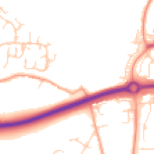
Daytime· 07:00 – 23:00
50.8dB

Night-time· 23:00 – 07:00
41.5dB