Flat 3, 3 Templar Street, Lambeth, London, SE5 9JB
About Flat 3
Flat 3 is a two-bedroom detached house in Lambeth, London, London (SE5 9JB). It has a recorded floor area of 66 m² (around 710 sq ft), construction records dating it to before 1900 and council tax band C. At 66 m² this is the largest unit on EPC record across the building (58–66 m²). The building's EPC ratings span E to D, with this unit at the bottom. On EPC score it ranks last in the building (45 versus a best of 62). Other recorded features include attached land beyond the plot. Period features are noted in the property record. The latest certificate (March 2019) shows an E (score 45), well below the UK norm with real room to improve. The rating has held steady at E across 2 certificates since July 2011. Between certificates, lighting dropped from Very Good to Very Poor. The recommended improvements would push it to D (score 65).
Across 2003–2016, sale prices on this property compounded at 9.4% per year. On a £-per-square-foot basis, the last sale (£726/sq ft) was about 136.6% above the typical sold price in the postcode. Last sold in December 2016, so it's been off the market for around 9 years. At 66 m² it's 25.8% smaller than the typical home in the postcode (89 m² median across 25 EPCs).
Know exactly what you're buying at Flat 3
Before you offer, see what the listing won't tell you, the true value, the red flags and the full history.
Already flagged here
Valuation
against the asking price
Risks
planning & flood
Sold prices
similar homes nearby
Trends
the local market
What this property has
Inside
- Bedrooms2
- Bathrooms1
Outside
- Private gardenYes
- LandYes
Building
- Period featuresYes
Energy performance
EPC Rating
Planning history
Flat 3 has no planning applications on record.
Notable planning nearby
3applications of note in the surrounding area
We flagged 1 thing worth checking at Flat 3
Independent checks surfaced things a buyer would want to understand before offering. The report explains each one in full, with the underlying data and what to ask.
- Larger development activity nearby
30-day money-back guarantee
Sales history & valuation
Flat 3 has more than tripled in price since its earliest registered sale in 2003.
£554,000
Modelled from EPC, postcode comparables and a sale-price growth of 9.4% per year over 13 years.
£516,000
Growth on file: 9.4% per year over 13 years.
Sales timeline
20 December 2016Most recent
£516,000
+58.8%over 5 years6 October 2011
£325,000
+109.7%over 8 years29 July 2003
£155,000
Median price across the last 5 sales in SE5 9JB: £1,021,000 (2025–2019).
Nearby sales in SE5 9JB
11 Templar Street, Lambeth, London, SE5 9JB
Sold May 2025
£1,650,000Flat 1, 15 Templar Street, Lambeth, London, SE5 9JB
Sold Feb 2025
£825,0005 Templar Street, Lambeth, London, SE5 9JB
Sold Jul 2022
£3,250,00017 Templar Street, Lambeth, London, SE5 9JB
Sold Dec 2020
£1,021,00016 Templar Street, Lambeth, London, SE5 9JB
Sold Dec 2019
£640,000
Everything we know about Flat 3, in one report
What it's really worth, what could be wrong, and the planning, sales and area data in full.
What we flagged
- Larger development activity nearby

Versus other Templar Street homes
Flat 3 is notably below the street on epc rating.
Price per m²
£7,818
Street avg £6,661
Floor Area
66 m²
Street avg 89 m²
Habitable Rooms
3 rooms
Street avg 3 rooms
CO₂ Emissions
4.6 t/year
Street avg 4.6 t/year
Similar properties nearby
139a, Flat 1, Coldharbour Lane
SE5 9NU
139a, Flat 3, Coldharbour Lane
SE5 9NU
137b, Second Floor Flat, Coldharbour Lane
SE5 9NU
137b, First Floor Flat, Coldharbour Lane
SE5 9NU
133b, First Floor Flat, Coldharbour Lane
SE5 9NU
133b, Second Floor Flat, Coldharbour Lane
SE5 9NU
137b, Ground Floor Flat, Coldharbour Lane
SE5 9NU
133a, First Floor Flat, Coldharbour Lane
SE5 9NU
The neighbourhood at a glance
Rail-style transport is unusually close for this postcode.
Crime
13/mo
Rising year-on-year across the wider district.
Nearest stop
0.3 km
Burton Road / Camberwell — bus stop.
Closest school
0.3 km
Loughborough Primary School. 101 schools nearby.
Go deeper on the local area
The full report breaks down crime, transport links, schools and air quality in depth.
Road noise across the postcode
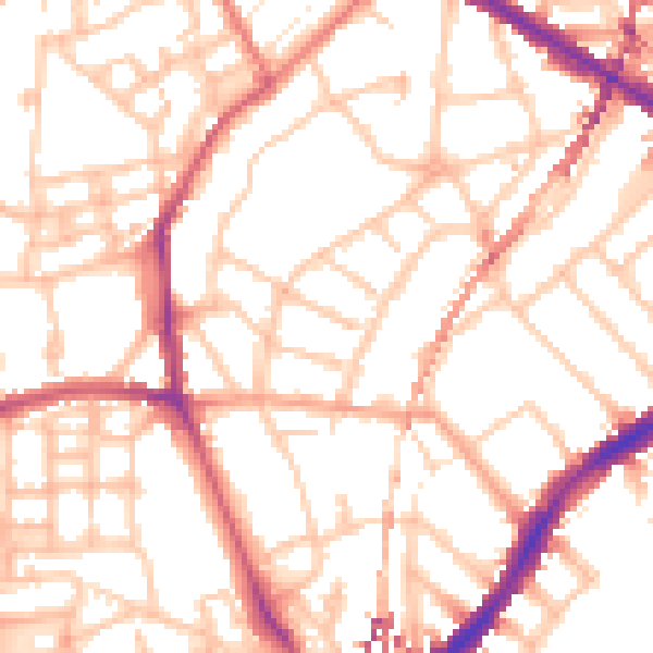
Daytime· 07:00 – 23:00
53.2dB

Night-time· 23:00 – 07:00
42.6dB