67b, Stembridge Road, Bromley, London, SE20 7UE
About 67b
67b is a two-bedroom end-of-terrace house in Bromley, London, London (SE20 7UE). It has a recorded floor area of 51 m² (around 549 sq ft), construction records dating it to 1930-1949 and council tax band C. At 51 m² this is the 8th smallest of 38 units on EPC record in the building, where floor areas span 39–290 m². The building's EPC ratings span G to B across 38 units on file. The latest certificate (March 2018) shows a D (score 58), a step below the typical UK home.
Across 2002–2018, sale prices on this property compounded at 6.1% per year. Today's modelled estimate of £330,000 is 10% above the 2018 sale price. On a £-per-square-foot basis, the last sale (£546/sq ft) was about 101.7% above the typical sold price in the postcode. At 51 m² it's 20.3% smaller than the typical home in the postcode (64 m² median across 39 EPCs). Last sale on file: £300,000 in December 2018.
What this property has
Inside
- Bedrooms2
- Bathrooms1
- Dining roomYes
Building
- RefurbishedYes
Everything you need to know about 67b
The true value, the hidden risks and the full sale history, in one report.
30-day money-back guarantee

The data behind every report


Energy performance
EPC Rating
Planning history
67b has no planning applications on record.
Notable planning nearby
11applications of note in the surrounding area
We flagged 1 thing worth checking at 67b
Independent checks surfaced things a buyer would want to understand before offering. The report explains each one in full, with the underlying data and what to ask.
- Signs of HMO activity in the area
30-day money-back guarantee
Sales history & valuation
67b has more than doubled in price since the earliest registered sale in 2002.
£330,000
Modelled from EPC, postcode comparables and a sale-price growth of 6.1% per year over 16 years.
£300,000
Growth on file: 6.1% per year over 16 years.
Sales timeline
20 December 2018Most recent
£300,000
+85.2%over 11 years7 June 2007
£162,000
+42.1%over 4 years3 October 2002
£113,999
Median price across the last 5 sales in SE20 7UE: £465,000 (2025–2023).
Nearby sales in SE20 7UE
29 Stembridge Road, Bromley, London, SE20 7UE
Sold Sept 2025
£875,000Ground Floor Flat, 47 Stembridge Road, London, SE20 7UE
Sold Jun 2025
£465,00067 Stembridge Road, Bromley, London, SE20 7UE
Sold Mar 2025
£330,00037 Stembridge Road, Bromley, London, SE20 7UE
Sold Jun 2024
£720,000Top Floor Flat, 47 Stembridge Road, London, SE20 7UE
Sold Aug 2023
£328,000
Versus other Stembridge Road homes
Habitable Rooms for 67b runs comfortably ahead of the street norm.
Price per m²
£5,882
Street avg £5,228
Floor Area
51 m²
Street avg 65 m²
Habitable Rooms
4 rooms
Street avg 3 rooms
CO₂ Emissions
3.0 t/year
Street avg 2.2 t/year
Everything you need to know about 67b
The true value, the hidden risks and the full sale history, in one report.
30-day money-back guarantee
The data behind every report
Similar properties nearby
1 Byron Close, Wheathill Road, Bromley
SE20 7XS
1 Aspen Mews, Bromley
SE20 7AU
1 Barson Close, Bromley
SE20 7HR
1 Ash Grove, Bromley
SE20 7RD
1 Ashleigh Road, Bromley
SE20 7YW
1 Felmingham Road, Bromley
SE20 7YD
1 Garden Road, Bromley
SE20 7RN
1 Grace Mews, 40 Marlow Road, Bromley
SE20 7UW
The neighbourhood at a glance
Rail-style transport is unusually close for this postcode.
Crime
6/mo
Rising year-on-year across the wider district.
Nearest stop
0.2 km
Thornsett Road — bus stop.
Closest school
0.3 km
Stewart Fleming Primary School. 53 schools nearby.
Go deeper on the local area
The full report breaks down crime, transport links, schools and air quality in depth.
Road noise across the postcode
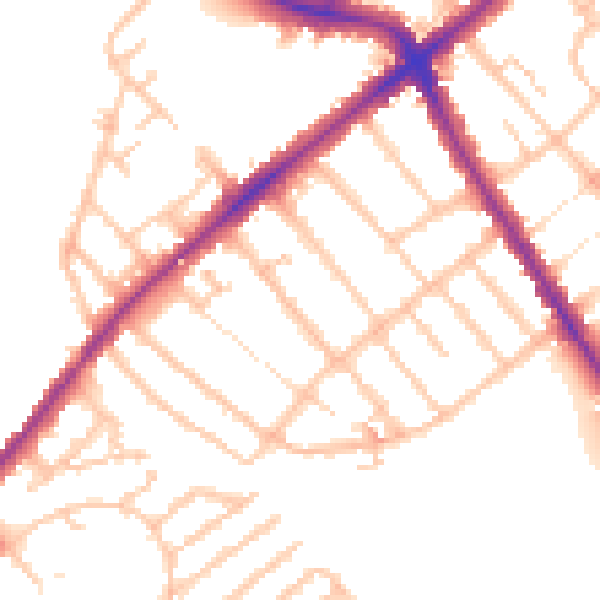
Daytime· 07:00 – 23:00
50.9dB

Night-time· 23:00 – 07:00
42.5dB