Merton House, Flat E, 109 Central Hill, Croydon, London, SE19 1BZ
About Merton House
A plain-English summary derived from public records, EPC certificates, sold prices and local data.
Merton House is an end-of-terrace house in Croydon, London, London (SE19 1BZ). It has a recorded floor area of 72 m² (around 775 sq ft), construction records dating it to 1900-1929 and council tax band B. The latest certificate (August 2025) shows a C (score 69), just inside the C band. The rating has held steady at C across 4 certificates since March 2010. Between certificates, wall efficiency dropped from Good to Poor and window efficiency dropped from Average to Poor.
Energy performance
Every EPC certificate filed against this property — current rating, recorded improvements, and where there's headroom to reach a higher band.
Current Certificate(1 of 4)
Aug 2025
EPC Rating
A
B
C
C69
D
E
F
G
Main Heating
Gas
Main Fuel
Gas
Hot Water
Good
Windows
Poor
CO2 Emissions
2.4 t/year
Occupancy
Rented
Planning history
Applications and permits filed against Merton House, Flat E, 109 Central Hill, Croydon, London, SE19 1BZ, sourced from the PlanIt planning register.
No planning applications are recorded against Merton House, Flat E, 109 Central Hill, Croydon, London, SE19 1BZ. The full report also covers planning activity across the surrounding area.
Full planning data for Merton House, Flat E, 109 Central Hill, Croydon, London, SE19 1BZ
Every application and decision on this property and nearby, in full, in the report.
Launch offer · 33% off
The complete analysis of Merton House, Flat E, 109 Central Hill, Croydon, London, SE19 1BZ
Everything we know about this property, compiled into one in-depth, downloadable report.
Detailed analysis
A written breakdown of everything that matters
Similar properties nearby
A handful of close matches in the same postcode area, ranked by likeness on bedrooms, type and floor area.
The neighbourhood at a glance
A condensed read of the local area. Each tile links through to the full breakdown on the London district page.
Rail-style transport is unusually close for this postcode.
Crime
5/mo
Steady year-on-year across the wider district.
Nearest stop
0.1 km
Hermitage Road — bus stop.
Road noise across the postcode
Modelled day and night-time noise levels around SE19 1BZ from Defra's strategic mapping. The pin marks this postcode's centroid.
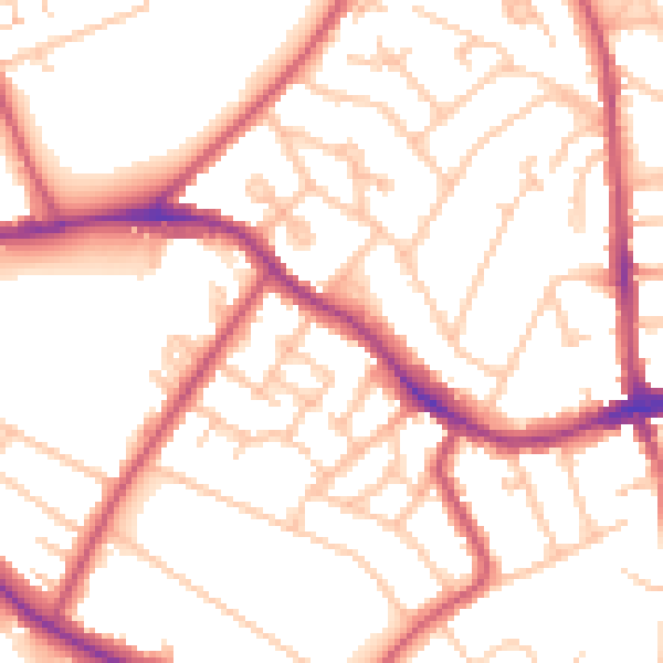
Daytime· 07:00 – 23:00
53.1dB

Everything within walking distance
Schools, transport stops and scenic spots near this property — 86 points of interest in total.
Common questions
The questions buyers, sellers and homeowners most often ask about Merton House, Flat E, 109 Central Hill, Croydon, London, SE19 1BZ. Each answer is also embedded as structured data for search engines.
