1 New Green Place, Lambeth, London, SE19 1AT
1 planning record
About 1 New Green Place
A plain-English summary derived from public records, EPC certificates, sold prices and local data.
1 New Green Place is a three-bedroom end-of-terrace house in Lambeth, London, London (SE19 1AT). It has a recorded floor area of 97 m² (around 1044 sq ft), construction records dating it to 1996-2002 and council tax band E. The latest certificate (October 2017) shows a D (score 64), on the cusp of jumping into the C band. The recommended improvements would push it to C (score 79).
Sale prices here have outpaced London HPI: 7.8% per year against 0% for the wider region. Today's modelled estimate of £711,000 is 28.1% above the 2021 sale price. On a £-per-square-foot basis, the last sale (£532/sq ft) was about 115.7% above the typical sold price in the postcode. At 97 m² it's 25.5% larger than the typical home in the postcode (77 m² median across 8 EPCs). On energy efficiency it sits in the bottom 10% of properties in this postcode — significant headroom for improvement. One planning record on file: an extension approved in 2022. Past consents include an extension, meaningful when judging how the property has evolved. Last sale on file: £555,000 in May 2021. That sale was during the post-pandemic price surge, when transactions cleared materially above pre-2020 trend.
What this property has
Pulled from EPC certificates, claim submissions and our property model. Empty categories are hidden — we only show what's known.
Inside
- Bedrooms3
- Bathrooms1
Energy performance
Every EPC certificate filed against this property — current rating, recorded improvements, and where there's headroom to reach a higher band.
1 New Green Place sits at the bottom of the postcode for energy efficiency — meaningful headroom to improve.
EPC Rating
A
B
C
D
D64
E
F
G
Main Heating
Gas
Main Fuel
Gas
Hot Water
Very Poor
Windows
Average
CO2 Emissions
3.3 t/year
Occupancy
Owner Occupied
Planning history
Applications and permits filed against 1 New Green Place, Lambeth, London, SE19 1AT, sourced from the PlanIt planning register.
1 New Green Place has an approved single-storey side and rear extension on the planning record.
- Mar 2022ExtensionFullGrant Permission
Extension: Single storey · Side and rear of property
Erection of a single storey ground floor side and rear wraparound extension.
Sales history & valuation
Recorded transactions, our model's current estimate, and a quick read on what neighbouring properties have sold for.
Price for 1 New Green Place has grown more than fourfold since the 1998 starting point.
Current estimate
See how we calculated this£711,000
Modelled from EPC, postcode comparables and a sale-price growth of 7.8% per year over 23 years.
Last sold (2021)
£555,000
Growth on file: 7.8% per year over 23 years.
Sales timeline
Launch offer · 33% off
The complete analysis of 1 New Green Place, Lambeth, London, SE19 1AT
Everything we know about this property, compiled into one in-depth, downloadable report.
Detailed analysis
A written breakdown of everything that matters
Versus other New Green Place homes
Four headline reads against 3 similar houses on this street, drawn from the latest EPC and Land Registry data.
On epc rating, 1 New Green Place runs well behind the street norm.
Price per m²
£5,722
Street avg £5,269
Floor Area
97 m²
Street avg 112 m²
Habitable Rooms
5 rooms
Similar properties nearby
A handful of close matches in the same postcode area, ranked by likeness on bedrooms, type and floor area.
The neighbourhood at a glance
A condensed read of the local area. Each tile links through to the full breakdown on the London district page.
Rail-style transport is unusually close for this postcode.
Crime
5/mo
Steady year-on-year across the wider district.
Nearest stop
0.1 km
Rockmount Road — bus stop.
Road noise across the postcode
Modelled day and night-time noise levels around SE19 1AT from Defra's strategic mapping. The pin marks this postcode's centroid.
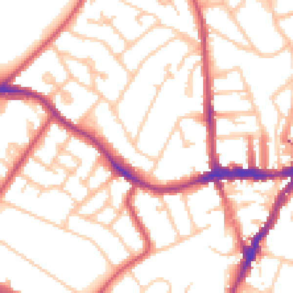
Daytime· 07:00 – 23:00
53.3dB

Everything within walking distance
Schools, transport stops and scenic spots near this property — 85 points of interest in total.
Common questions
The questions buyers, sellers and homeowners most often ask about 1 New Green Place, Lambeth, London, SE19 1AT. Each answer is also embedded as structured data for search engines.
