Flat 2, 63 Alexandra Drive, Lambeth, London, SE19 1AN
3 sales on record
About Flat 2
A plain-English summary derived from public records, EPC certificates, sold prices and local data.
Flat 2 is a two-bedroom semi-detached house in Lambeth, London, London (SE19 1AN). It has a recorded floor area of 69 m² (around 743 sq ft), construction records dating it to 1900-1929 and council tax band D. At 69 m² this is the 4th smallest of 5 units on EPC record in the building, where floor areas span 57–84 m². The building's EPC ratings span E to C, with this unit at the bottom. On EPC score it ranks last in the building (51 versus a best of 75). The latest certificate (January 2021) shows an E (score 51), well below the UK norm with real room to improve. The recommended improvements would lift it to C (score 76), a 2-band jump.
Sale prices here have outpaced London HPI: 3.9% per year against 0% for the wider region. Today's modelled estimate of £544,000 is 16.1% above the 2022 sale price. On a £-per-square-foot basis, the last sale (£631/sq ft) was about 72.1% above the typical sold price in the postcode. It lags the bulk of the postcode on energy efficiency (less efficient than 87% of similar EPCs). Sold February 2022 for £468,535. That sale was during the post-pandemic price surge, when transactions cleared materially above pre-2020 trend.
What this property has
Pulled from EPC certificates, claim submissions and our property model. Empty categories are hidden — we only show what's known.
Inside
- Bedrooms2
- Bathrooms2
- Dining roomYes
- EnsuiteYes
Energy performance
Every EPC certificate filed against this property — current rating, recorded improvements, and where there's headroom to reach a higher band.
Recommended upgrades on file would lift this property by multiple EPC bands.
EPC Rating
A
B
C
D
E
E51
F
G
Main Heating
Gas
Main Fuel
Gas
Hot Water
Good
Windows
Very Poor
CO2 Emissions
4.0 t/year
Occupancy
Owner Occupied
Planning history
Applications and permits filed against Flat 2, 63 Alexandra Drive, Lambeth, London, SE19 1AN, sourced from the PlanIt planning register.
No planning applications are recorded against Flat 2, 63 Alexandra Drive, Lambeth, London, SE19 1AN. The full report also covers planning activity across the surrounding area.
Full planning data for Flat 2, 63 Alexandra Drive, Lambeth, London, SE19 1AN
Every application and decision on this property and nearby, in full, in the report.
Sales history & valuation
Recorded transactions, our model's current estimate, and a quick read on what neighbouring properties have sold for.
The latest sale landed in the post-pandemic price surge — useful context when reading the figure.
Current estimate
See how we calculated this£544,000
Modelled from EPC, postcode comparables and a sale-price growth of 3.9% per year over 13 years.
Last sold (2022)
£468,535
Growth on file: 3.9% per year over 13 years.
Sales timeline
Launch offer · 33% off
The complete analysis of Flat 2, 63 Alexandra Drive, Lambeth, London, SE19 1AN
Everything we know about this property, compiled into one in-depth, downloadable report.
Detailed analysis
A written breakdown of everything that matters
Versus other Alexandra Drive homes
Four headline reads against 41 similar flats on this street, drawn from the latest EPC and Land Registry data.
EPC Rating for Flat 2 lags the street by a wide margin.
Price per m²
£6,790
Street avg £5,319
Floor Area
69 m²
Street avg 90 m²
Habitable Rooms
4 rooms
Street avg 4 rooms
Similar properties nearby
A handful of close matches in the same postcode area, ranked by likeness on bedrooms, type and floor area.
The neighbourhood at a glance
A condensed read of the local area. Each tile links through to the full breakdown on the London district page.
Rail-style transport is unusually close for this postcode.
Crime
5/mo
Steady year-on-year across the wider district.
Nearest stop
0.3 km
Hermitage Road — bus stop.
Road noise across the postcode
Modelled day and night-time noise levels around SE19 1AN from Defra's strategic mapping. The pin marks this postcode's centroid.
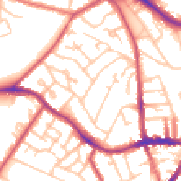
Daytime· 07:00 – 23:00
53.7dB

Everything within walking distance
Schools, transport stops and scenic spots near this property — 84 points of interest in total.
Common questions
The questions buyers, sellers and homeowners most often ask about Flat 2, 63 Alexandra Drive, Lambeth, London, SE19 1AN. Each answer is also embedded as structured data for search engines.
