39 Alberta Street, Southwark, London, SE17 3SF
About 39 Alberta Street
39 Alberta Street is a mid-terrace house in Southwark, London, London (SE17 3SF). It has a recorded floor area of 61 m² (around 657 sq ft), construction records dating it to 1967-1975 and council tax band C. The latest certificate (October 2021) shows a D (score 65), on the cusp of jumping into the C band. The recommended improvements would push it to C (score 71).
One planning record on file: new windows approved in 2015. Past consents include new windows, meaningful when judging how the property has evolved. At 61 m² it's 27.8% smaller than the typical home in the postcode (85 m² median across 10 EPCs).
Know exactly what you're buying at 39 Alberta Street
Before you offer, see what the listing won't tell you, the true value, the red flags and the full history.
Launch offer · save £5
Valuation
against the asking price
Risks
planning & flood
Sold prices
similar homes nearby
Trends
the local market
Energy performance
EPC Rating
Planning history
- Jul 2015RenovationFullIn report
Replacement of timber single glazed windows to uPVC double glazed items.
- Agent
- Blakeney Leigh Ltd.
New Windows- Documents
- 2 docs on file
- Reference
- 15/AP/1899
What's in 39 Alberta Street, Southwark, London, SE17 3SF's planning history?
Refusals, disputes and full decisions on this property and nearby, in the report.
Sales history & valuation
39 Alberta Street has no Land Registry sales on file, suggesting it has stayed in the same hands since registration began.
£398,000
Modelled from EPC, postcode comparables.
No sales recorded with HM Land Registry
That can mean the property has never traded since the registry began publishing in 1995, was a new build that hasn't been registered yet, or is held in the same hands long-term.
Median price across the last 5 sales in SE17 3SF: £500,000 (2024–2015).
Nearby sales in SE17 3SF
21 Alberta Street, Southwark, London, SE17 3SF
Sold Oct 2024
£665,00041 Alberta Street, Southwark, London, SE17 3SF
Sold Jun 2022
£415,00029 Alberta Street, Southwark, London, SE17 3SF
Sold Sept 2021
£500,00015 Alberta Street, Southwark, London, SE17 3SF
Sold Feb 2019
£630,00035 Alberta Street, Southwark, London, SE17 3SF
Sold Jul 2015
£450,000
Everything we know about 39 Alberta Street, in one report
What it's really worth, what could be wrong, and the planning, sales and area data in full.
- Am I paying too much?
- Is something wrong with it?
- Is the agent's story true?
- Will it hold its value?

Similar properties nearby
1 Andrews Walk, Southwark
SE17 3JQ
1 Copley Close, Hillingdon Street, Southwark
SE17 3HY
1 Ambergate Street, Southwark
SE17 3RY
1 Dartford Street, Southwark
SE17 3UQ
1 Iliffe Street, Southwark
SE17 3LJ
1 Cooks Road, Southwark
SE17 3NG
1 Lorrimore Square, Southwark
SE17 3QT
1 Forsyth Gardens, Southwark
SE17 3NE
The neighbourhood at a glance
Rail-style transport is unusually close for this postcode.
Crime
19/mo
Rising year-on-year across the wider district.
Nearest stop
0.2 km
Penton Place — bus stop.
Closest school
0.1 km
Crampton Primary. 97 schools nearby.
Go deeper on the local area
The full report breaks down crime, transport links, schools and air quality in depth.
Road noise across the postcode
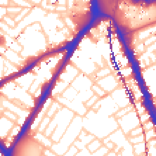
Daytime· 07:00 – 23:00
56.9dB

Night-time· 23:00 – 07:00
47.0dB