39 Empress Street, Southwark, London, SE17 3HH
About 39 Empress Street
39 Empress Street is a mid-terrace house in Southwark, London, London (SE17 3HH). It has a recorded floor area of 66 m² (around 712 sq ft), construction records dating it to 1967-1975 and council tax band B. The latest certificate (February 2011) returns a B (score 82), comfortably above the UK average. The latest certificate is from February 2011, so improvements made since then won't be reflected.
On energy efficiency it sits in the top 10% of properties in this postcode. Today's modelled estimate of £348,000 sits 132% above the 2011 sale of £150,000. On a £-per-square-foot basis, the last sale (£211/sq ft) was about 43.1% below the postcode norm. 14 years since the last transfer (December 2011).
Know exactly what you're buying at 39 Empress Street
Before you offer, see what the listing won't tell you, the true value, the red flags and the full history.
Launch offer · save £5
Valuation
against the asking price
Risks
planning & flood
Sold prices
similar homes nearby
Trends
the local market
Energy performance
39 Empress Street ranks among the most efficient homes in the postcode for energy use.
EPC Expired
This certificate is over 10 years old and is no longer valid.Expired 16 Feb 2021
EPC Rating
Planning history
39 Empress Street has no planning applications on record.
The full report still covers planning activity across the surrounding area.
Sales history & valuation
39 Empress Street valuation sits well clear of the typical sold price in this postcode.
£348,000
Modelled from EPC, postcode comparables.
£150,000
Recorded with HM Land Registry.
Sales timeline
21 December 2011Most recent
£150,000
Median price across the last 5 sales in SE17 3HH: £260,000 (2023–2014).
Nearby sales in SE17 3HH
47 Empress Street, Southwark, London, SE17 3HH
Sold Jan 2023
£260,00021 Empress Street, Southwark, London, SE17 3HH
Sold Sept 2022
£330,00017 Empress Street, Southwark, London, SE17 3HH
Sold Jan 2017
£340,00073 Empress Street, Southwark, London, SE17 3HH
Sold Jun 2015
£255,00037 Empress Street, Southwark, London, SE17 3HH
Sold Nov 2014
£191,000
Everything we know about 39 Empress Street, in one report
What it's really worth, what could be wrong, and the planning, sales and area data in full.
- Am I paying too much?
- Is something wrong with it?
- Is the agent's story true?
- Will it hold its value?

Versus other Empress Street homes
39 Empress Street is notably below the street on price per m².
Price per m²
£2,266
Street avg £4,231
Floor Area
66 m²
Street avg 65 m²
Habitable Rooms
3 rooms
Street avg 3 rooms
CO₂ Emissions
1.6 t/year
Street avg 2.1 t/year
Similar properties nearby
1 Dartford Street, Southwark
SE17 3UQ
1 Andrews Walk, Southwark
SE17 3JQ
1 Copley Close, Hillingdon Street, Southwark
SE17 3HY
1 Ambergate Street, Southwark
SE17 3RY
1 Gates Court, Marsland Close, Southwark
SE17 3JN
1 Iliffe Street, Southwark
SE17 3LJ
1 Cooks Road, Southwark
SE17 3NG
1 Lorrimore Square, Southwark
SE17 3QT
The neighbourhood at a glance
Rail-style transport is unusually close for this postcode.
Crime
19/mo
Rising year-on-year across the wider district.
Nearest stop
0.1 km
Westmoreland Road — bus stop.
Closest school
0.2 km
St Peter's Church of England Primary School. 101 schools nearby.
Go deeper on the local area
The full report breaks down crime, transport links, schools and air quality in depth.
Road noise across the postcode
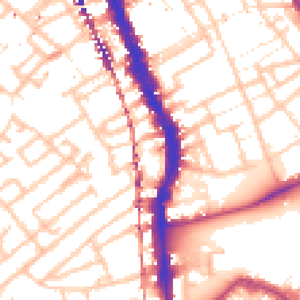
Daytime· 07:00 – 23:00
54.7dB
Night-time· 23:00 – 07:00
43.1dB