Lock Fields House, Flat 2, Wadding Street, Southwark, London, SE17 1BD
About Lock Fields House
Lock Fields House is a property in Southwark, London, London (SE17 1BD). It has a recorded floor area of 80 m² (around 861 sq ft) and council tax band E. The latest certificate (June 2016) returns a B (score 83), comfortably above the UK average. The latest certificate is from June 2016, so improvements made since then won't be reflected. At 80 m² this is the 15th smallest of 25 units on EPC record in Lock Fields House, where floor areas span 70–145 m². On EPC score it ranks last in the building (83 versus a best of 86).
Know exactly what you're buying at Lock Fields House
Before you offer, see what the listing won't tell you, the true value, the red flags and the full history.
Already flagged here
Launch offer · save £5
Valuation
against the asking price
Risks
planning & flood
Sold prices
similar homes nearby
Trends
the local market
Energy performance
Lock Fields House's carbon output is low for the local stock.
EPC Rating
Planning history
Lock Fields House has no planning applications on record.
Notable planning nearby
2applications of note in the surrounding area
We flagged 1 thing worth checking at Lock Fields House
Independent checks surfaced things a buyer would want to understand before offering. The report explains each one in full, with the underlying data and what to ask.
- Larger development activity nearby
30-day money-back guarantee
Sales history & valuation
Lock Fields House has no Land Registry sales on file, suggesting it has stayed in the same hands since registration began.
£655,000
Modelled from EPC, postcode comparables.
No sales recorded with HM Land Registry
That can mean the property has never traded since the registry began publishing in 1995, was a new build that hasn't been registered yet, or is held in the same hands long-term.
Everything we know about Lock Fields House, in one report
What it's really worth, what could be wrong, and the planning, sales and area data in full.
What we flagged
- Larger development activity nearby

Versus other Wadding Street homes
Lock Fields House is notably below the street on epc rating.
EPC Rating
83 (B)
Street avg 85 (B)
Floor Area
80 m²
Street avg 80 m²
CO₂ Emissions
0.8 t/year
Street avg 0.7 t/year
Similar properties nearby
1 2, First Floor Flat, Munton Road
SE17 1PR
11a, Flat 1, Colworth Grove, Southwark
SE17 1LR
11a, Flat 5, Colworth Grove, Southwark
SE17 1LR
11a, Flat 3, Colworth Grove, Southwark
SE17 1LR
11a, Flat 6, Colworth Grove, Southwark
SE17 1LR
11a, Flat 4, Colworth Grove, Southwark
SE17 1LR
12a, Flat 6, Colworth Grove
SE17 1LR
12a, Flat 5, Colworth Grove
SE17 1LR
The neighbourhood at a glance
Rail-style transport is unusually close for this postcode.
Crime
19/mo
Rising year-on-year across the wider district.
Nearest stop
0.1 km
Larcom Street Newington — bus stop.
Closest school
0.2 km
Victory Primary School. 93 schools nearby.
Go deeper on the local area
The full report breaks down crime, transport links, schools and air quality in depth.
Road noise across the postcode
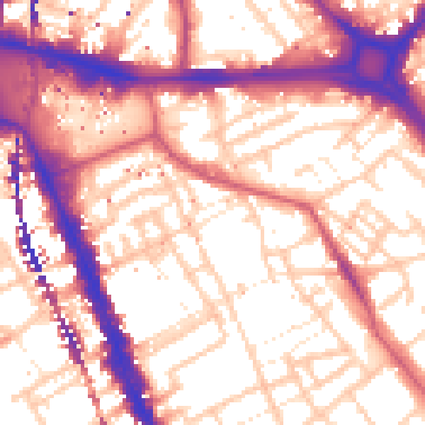
Daytime· 07:00 – 23:00
57.5dB

Night-time· 23:00 – 07:00
46.3dB