11 Bevington Street, Southwark, London, SE16 4PY
About 11 Bevington Street
11 Bevington Street is a property in Southwark, London, London (SE16 4PY). It has council tax band E.
Untraded for 23 years, with the last transfer in May 2003. Across 2000–2003, sale prices on this property compounded at -10.6% per year.
Know exactly what you're buying at 11 Bevington Street
Before you offer, see what the listing won't tell you, the true value, the red flags and the full history.
Already flagged here
Launch offer · save £5
Valuation
against the asking price
Risks
planning & flood
Sold prices
similar homes nearby
Trends
the local market
Energy performance
No EPC on record
This property doesn't have an Energy Performance Certificate yet. An EPC is required to sell or let — and unlocks our automated valuation.
Planning history
11 Bevington Street has no planning applications on record.
Notable planning nearby
2applications of note in the surrounding area
We flagged 1 thing worth checking at 11 Bevington Street
Independent checks surfaced things a buyer would want to understand before offering. The report explains each one in full, with the underlying data and what to ask.
- Larger development activity nearby
30-day money-back guarantee
Sales history & valuation
£99,828
Growth on file: -10.6% per year over 3 years.
Sales timeline
18 May 2003Most recent
£99,828
-31.2%over 3 years19 January 2000
£145,000
Median price across the last 5 sales in SE16 4PY: £585,000 (2016–2006).
Everything we know about 11 Bevington Street, in one report
What it's really worth, what could be wrong, and the planning, sales and area data in full.
What we flagged
- Larger development activity nearby

Similar properties nearby
1 Elephant Lane, Southwark
SE16 4JD
1 Bevington Street, Southwark
SE16 4PY
1 Cathay Street, Southwark
SE16 4TS
1 7, Flat 15, Old Jamaica Road, Southwark
SE16 4TE
1 Hartley House, Chambers Street, Southwark
SE16 4EP
1 Butterfield Close, Southwark
SE16 4PZ
1 7, Flat 12, Old Jamaica Road, Southwark
SE16 4TE
1 7, Flat 14, Old Jamaica Road, Southwark
SE16 4TE
The neighbourhood at a glance
Rail-style transport is unusually close for this postcode.
Crime
5/mo
Rising year-on-year across the wider district.
Nearest stop
0.2 km
Bermondsey Station — bus stop.
Closest school
0.1 km
Riverside Primary School. 98 schools nearby.
Go deeper on the local area
The full report breaks down crime, transport links, schools and air quality in depth.
Road noise across the postcode
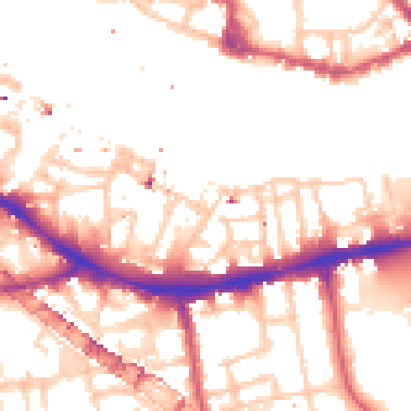
Daytime· 07:00 – 23:00
53.9dB

Night-time· 23:00 – 07:00
43.3dB