Bridgestone House, Flat 1, 27 Blue Anchor Lane, Southwark, London, SE16 3UL
About Bridgestone House
Bridgestone House is a property in Southwark, London, London (SE16 3UL). It has a recorded floor area of 101 m² (around 1087 sq ft). The latest certificate (July 2016) returns a high B (score 87), putting the home a stone's throw from an A rating.
At 101 m² the property is well over the postcode median (63 m² across 61 EPCs), placing it in the larger end of the local stock.
Know exactly what you're buying at Bridgestone House
Before you offer, see what the listing won't tell you, the true value, the red flags and the full history.
Already flagged here
Launch offer · save £5
Valuation
against the asking price
Risks
planning & flood
Sold prices
similar homes nearby
Trends
the local market
Energy performance
Bridgestone House's carbon output is low for the local stock.
EPC Rating
Planning history
Bridgestone House has no planning applications on record.
Notable planning nearby
3applications of note in the surrounding area
We flagged 1 thing worth checking at Bridgestone House
Independent checks surfaced things a buyer would want to understand before offering. The report explains each one in full, with the underlying data and what to ask.
- Larger development activity nearby
30-day money-back guarantee
Sales history & valuation
Bridgestone House has no Land Registry sales on file, suggesting it has stayed in the same hands since registration began.
£528,000
Modelled from EPC, postcode comparables.
No sales recorded with HM Land Registry
That can mean the property has never traded since the registry began publishing in 1995, was a new build that hasn't been registered yet, or is held in the same hands long-term.
Median price across the last 5 sales in SE16 3UL: £395,000 (2025–2023).
Nearby sales in SE16 3UL
Bridgestone House, Flat 5, 27 Blue Anchor Lane, Southwark, London, SE16 3UL
Sold May 2025
£160,000Bridgestone House, Flat 4, 27 Blue Anchor Lane, Southwark, London, SE16 3UL
Sold Oct 2024
£549,000Bridgestone House, Flat 19, 27 Blue Anchor Lane, Southwark, London, SE16 3UL
Sold Apr 2024
£420,000Bridgestone House, Flat 9, 27 Blue Anchor Lane, Southwark, London, SE16 3UL
Sold Feb 2024
£375,000Bridgestone House, Flat 14, 27 Blue Anchor Lane, Southwark, London, SE16 3UL
Sold Nov 2023
£395,000
Everything we know about Bridgestone House, in one report
What it's really worth, what could be wrong, and the planning, sales and area data in full.
What we flagged
- Larger development activity nearby

Versus other Blue Anchor Lane homes
EPC Rating for Bridgestone House runs comfortably ahead of the street norm.
EPC Rating
87 (B)
Street avg 80 (C)
Floor Area
101 m²
Street avg 59 m²
CO₂ Emissions
0.8 t/year
Street avg 1.1 t/year
Similar properties nearby
251b, Flat, Southwark Park Road, Southwark
SE16 3TS
251a, Flat 2, Southwark Park Road
SE16 3TS
1b, Upper Flat, Ilderton Road, Southwark
SE16 3JU
257 265, Flat 12, Southwark Park Road
SE16 3TP
1a, Upper Flat, Ilderton Road, Southwark
SE16 3JU
257 265, Flat 2, Southwark Park Road
SE16 3TP
1c, Flat 2, Ilderton Road
SE16 3JU
23a, Flat 2, Blue Anchor Lane, Southwark
SE16 3UL
The neighbourhood at a glance
Rail-style transport is unusually close for this postcode.
Crime
5/mo
Rising year-on-year across the wider district.
Nearest stop
0.1 km
Southwark Park Rd/St James Rd — bus stop.
Closest school
0.4 km
The Charter School Bermondsey. 94 schools nearby.
Go deeper on the local area
The full report breaks down crime, transport links, schools and air quality in depth.
Road noise across the postcode
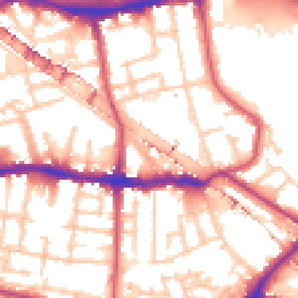
Daytime· 07:00 – 23:00
55.4dB

Night-time· 23:00 – 07:00
43.9dB