Flat 6, 4 Eagle Close, Southwark, London, SE16 3DJ
About Flat 6
Flat 6 is an end-of-terrace house in Southwark, London, London (SE16 3DJ). It has a recorded floor area of 63 m² (around 678 sq ft), construction records dating it to 1991-1995 and council tax band B. At 63 m² this is the 3rd smallest of 5 units on EPC record in the building, where floor areas span 53–74 m². On EPC score it ranks last in the building (72 versus a best of 80). The latest certificate (May 2013) shows a C (score 72). The latest certificate is from May 2013, so improvements made since then won't be reflected.
Know exactly what you're buying at Flat 6
Before you offer, see what the listing won't tell you, the true value, the red flags and the full history.
Already flagged here
Launch offer · save £5
Valuation
against the asking price
Risks
planning & flood
Sold prices
similar homes nearby
Trends
the local market
Energy performance
Flat 6's EPC is over a decade old — improvements since won't be reflected.
EPC Expired
This certificate is over 10 years old and is no longer valid.Expired 29 May 2023
EPC Rating
Planning history
Flat 6 has no planning applications on record.
Notable planning nearby
3applications of note in the surrounding area
We flagged 1 thing worth checking at Flat 6
Independent checks surfaced things a buyer would want to understand before offering. The report explains each one in full, with the underlying data and what to ask.
- Larger development activity nearby
30-day money-back guarantee
Sales history & valuation
Flat 6 has no Land Registry sales on file, suggesting it has stayed in the same hands since registration began.
£304,000
Modelled from EPC, postcode comparables.
No sales recorded with HM Land Registry
That can mean the property has never traded since the registry began publishing in 1995, was a new build that hasn't been registered yet, or is held in the same hands long-term.
Everything we know about Flat 6, in one report
What it's really worth, what could be wrong, and the planning, sales and area data in full.
What we flagged
- Larger development activity nearby

Versus other Eagle Close homes
EPC Rating for Flat 6 lags the street by a wide margin.
EPC Rating
72 (C)
Street avg 77 (C)
Floor Area
63 m²
Street avg 65 m²
CO₂ Emissions
2.0 t/year
Street avg 1.6 t/year
Habitable Rooms
2 rooms
Street avg 3 rooms
Similar properties nearby
257 265, Flat 10, Southwark Park Road
SE16 3TP
1a, Flat 1, Yalding Road, Southwark
SE16 3SS
257 265, Flat 5, Southwark Park Road
SE16 3TP
257 265, Flat 3, Southwark Park Road
SE16 3TP
257 265, Flat 4, Southwark Park Road
SE16 3TP
1b, Flat 2, Yalding Road, Southwark
SE16 3SS
1c, Flat 1, Ilderton Road
SE16 3JU
1a, Flat 4, Yalding Road, Southwark
SE16 3SS
The neighbourhood at a glance
Rail-style transport is unusually close for this postcode.
Crime
5/mo
Rising year-on-year across the wider district.
Nearest stop
0.2 km
Millwall Football Ground — bus stop.
Closest school
0.2 km
Ilderton Primary School. 89 schools nearby.
Go deeper on the local area
The full report breaks down crime, transport links, schools and air quality in depth.
Road noise across the postcode
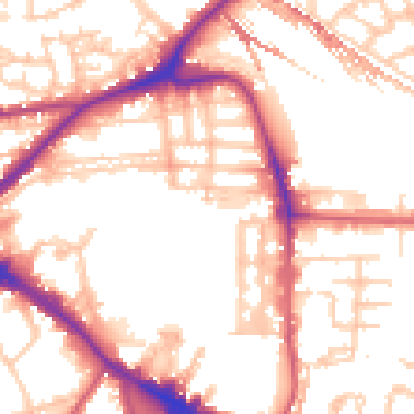
Daytime· 07:00 – 23:00
53.9dB

Night-time· 23:00 – 07:00
43.5dB