Flat 1, 209 Ilderton Road, Southwark, London, SE15 1NS
About Flat 1
Flat 1 is a property in Southwark, London, London (SE15 1NS). It has council tax band B.
One historical planning record sits against the property in 2016.
Energy performance
No EPC on record
This property doesn't have an Energy Performance Certificate yet. An EPC is required to sell or let — and unlocks our automated valuation.
Planning history
- Jul 2016FullIn report
Erection of a new brick garden wall with wooden fencing secured to a total height of 8.5 ft ie the current height (consistent with neighbouring properties).
- Documents
- 2 docs on file
- Reference
- 16/AP/1390
Sales history & valuation
No sales recorded with HM Land Registry
That can mean the property has never traded since the registry began publishing in 1995, was a new build that hasn't been registered yet, or is held in the same hands long-term.
Median price across the last 5 sales in SE15 1NS: £320,500 (2024–2016).
Nearby sales in SE15 1NS
Flat 2, 221 Ilderton Road, Southwark, London, SE15 1NS
Sold Apr 2024
£320,500Flat 1, 221 Ilderton Road, Southwark, London, SE15 1NS
Sold Mar 2021
£380,000Flat 1, 213 Ilderton Road, Southwark, London, SE15 1NS
Sold Mar 2017
£315,000Flat 2, 209 Ilderton Road, Southwark, London, SE15 1NS
Sold Sept 2016
£290,000Flat 2, 211 Ilderton Road, Southwark, London, SE15 1NS
Sold Mar 2015
£272,500
Similar properties nearby
1 Tavern Apartments, 102 Bird In Bush Road
SE15 1BQ
2 Tavern Apartments, 102 Bird In Bush Road
SE15 1BQ
223 225, Flat 1, Ilderton Road
SE15 1NS
223 225, Flat 2, Ilderton Road
SE15 1NS
223 225, Flat 3, Ilderton Road
SE15 1NS
223 225, Flat 4, Ilderton Road
SE15 1NS
223 225, Flat 5, Ilderton Road
SE15 1NS
223 225, Flat 6, Ilderton Road
SE15 1NS
The neighbourhood at a glance
Rail-style transport is unusually close for this postcode.
Crime
11/mo
Rising year-on-year across the wider district.
Nearest stop
0.1 km
Penarth Street — bus stop.
Closest school
0.2 km
Ilderton Primary School. 89 schools nearby.
Road noise across the postcode
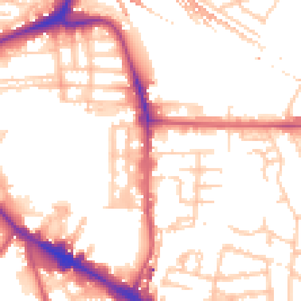
Daytime· 07:00 – 23:00
53.0dB

Night-time· 23:00 – 07:00
42.5dB