Are you a property professional?Get qualified leads from motivated homeowners.
Get started6 Denham Street, Greenwich, London, SE10 0RX
Notable views
About 6 Denham Street
A plain-English summary derived from public records, EPC certificates, sold prices and local data.
6 Denham Street is a two-bedroom mid-terrace house in Greenwich, London, London (SE10 0RX). It has a recorded floor area of 75 m² (around 807 sq ft), construction records dating it to 1996-2002 and council tax band D. The latest certificate (March 2017) shows a D (score 67), on the cusp of jumping into the C band. The recommended improvements would lift it to B (score 88), a 2-band jump. Other recorded features include a balcony and notable views.
Sale prices here have outpaced London HPI: 7.2% per year against 0% for the wider region. Today's modelled estimate of £570,000 is 17.5% above the 2017 sale price. On a £-per-square-foot basis, the last sale (£601/sq ft) was about 168.3% above the typical sold price in the postcode. It lags the bulk of the postcode on energy efficiency (less efficient than 80% of similar EPCs). 9 years since the last transfer (August 2017).
What this property has
Pulled from EPC certificates, claim submissions and our property model. Empty categories are hidden — we only show what's known.
Inside
- Bedrooms2
- Bathrooms2
Outside
- Shared gardenYes
- Parking
Energy performance
Every EPC certificate filed against this property — current rating, recorded improvements, and where there's headroom to reach a higher band.
Recommended upgrades on file would lift this property by multiple EPC bands.
EPC Rating
A
B
C
D
D67
E
F
G
Main Heating
Gas
Main Fuel
Gas
Hot Water
Average
Windows
Average
CO2 Emissions
2.7 t/year
Occupancy
Owner Occupied
Sales history & valuation
Recorded transactions, our model's current estimate, and a quick read on what neighbouring properties have sold for.
Latest sale on 6 Denham Street was the highest on Land Registry record across the postcode.
Current estimate
See how we calculated this£570,000
Modelled from EPC, postcode comparables and a sale-price growth of 7.2% per year over 20 years.
Last sold (2017)
£485,000
Growth on file: 7.2% per year over 20 years.
Sales timeline
Full property reportLaunch offer · 33% off
The complete analysis of 6 Denham Street, Greenwich, London, SE10 0RX
Everything we know about this property, compiled into one in-depth, downloadable report.
Detailed AI analysis
Versus other Denham Street homes
Four headline reads against 5 similar houses on this street, drawn from the latest EPC and Land Registry data.
Price per m² for 6 Denham Street runs comfortably ahead of the street norm.
Price per m²
£6,467
Street avg £3,326
Floor Area
75 m²
Street avg 74 m²
Habitable Rooms
5 rooms
Similar properties nearby
A handful of close matches in the same postcode area, ranked by likeness on bedrooms, type and floor area.
The neighbourhood at a glance
A condensed read of the local area. Each tile links through to the full breakdown on the London district page.
Rail-style transport is unusually close for this postcode.
Crime
12/mo
Rising year-on-year across the wider district.
Nearest stop
0.1 km
Marlton Street — bus stop.
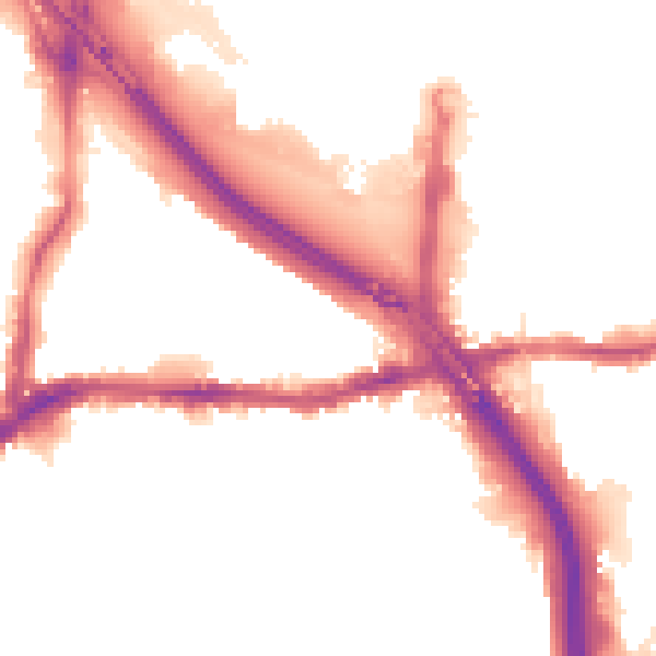
Road noise across the postcode
Modelled day and night-time noise levels around SE10 0RX from Defra's strategic mapping. The pin marks this postcode's centroid.
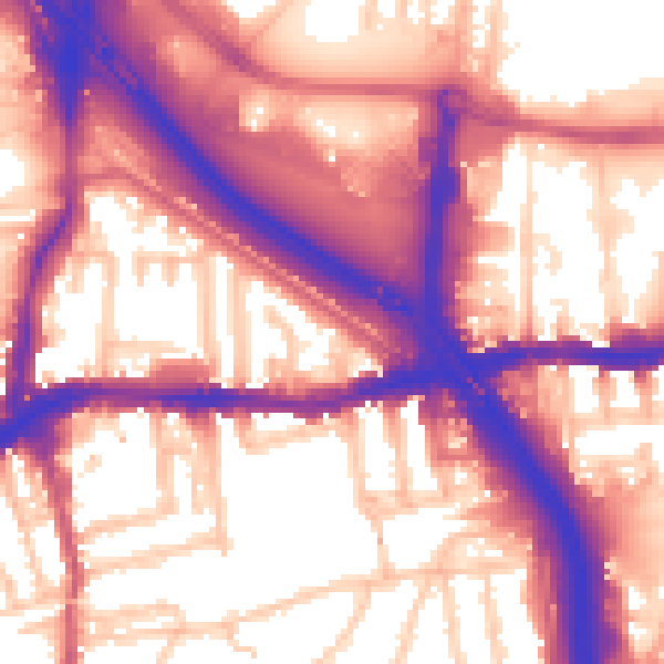
Daytime· 07:00 – 23:00
60.2dB
Everything within walking distance
Schools, transport stops and scenic spots near this property — 82 points of interest in total.
Common questions
The questions buyers, sellers and homeowners most often ask about 6 Denham Street, Greenwich, London, SE10 0RX. Each answer is also embedded as structured data for search engines.