27 Clarendon Street, Barnsley, S70 6AH
About 27 Clarendon Street
27 Clarendon Street is an end-of-terrace house in Barnsley (S70 6AH). It has a recorded floor area of 58 m² (around 624 sq ft), construction records dating it to 1900-1929 and council tax band A. The latest certificate (July 2019) shows a D (score 56), a step below the typical UK home. The recommended improvements would lift it to B (score 84), a 2-band jump.
Today's modelled estimate of £113,000 is 44.9% above the 2022 sale price. On a £-per-square-foot basis, the last sale (£125/sq ft) was about 45.5% above the typical sold price in the postcode. Sold January 2022 for £78,000. That sale was during the post-pandemic price surge, when transactions cleared materially above pre-2020 trend.
Know exactly what you're buying at 27 Clarendon Street
Before you offer, see what the listing won't tell you, the true value, the red flags and the full history.
Already flagged here
Valuation
against the asking price
Risks
planning & flood
Sold prices
similar homes nearby
Trends
the local market
Energy performance
Recommended upgrades on file would lift this property by multiple EPC bands.
EPC Rating
Planning history
27 Clarendon Street has no planning applications on record.
Notable planning nearby
9applications of note in the surrounding area
We flagged 1 thing worth checking at 27 Clarendon Street
Independent checks surfaced things a buyer would want to understand before offering. The report explains each one in full, with the underlying data and what to ask.
- Signs of HMO activity in the area
30-day money-back guarantee
Sales history & valuation
27 Clarendon Street's sale-price growth has lagged the wider UK trajectory across its history on file.
£113,000
Modelled from EPC, postcode comparables and a sale-price growth of 0.4% per year over 14 years.
£78,000
Growth on file: 0.4% per year over 14 years.
Sales timeline
14 January 2022Most recent
£78,000
+5.4%over 14 years16 November 2007
£74,000
Median price across the last 5 sales in S70 6AH: £90,000 (2023–2021).
Nearby sales in S70 6AH
Everything we know about 27 Clarendon Street, in one report
What it's really worth, what could be wrong, and the planning, sales and area data in full.
What we flagged
- Signs of HMO activity in the area

Versus other Clarendon Street homes
On habitable rooms, 27 Clarendon Street runs well behind the street norm.
Price per m²
£1,345
Street avg £994
Floor Area
58 m²
Street avg 69 m²
Habitable Rooms
3 rooms
Street avg 4 rooms
CO₂ Emissions
3.6 t/year
Street avg 4.1 t/year
Similar properties nearby
The neighbourhood at a glance
Reported crime in the wider district is trending notably upward year-on-year.
Crime
5/mo
Rising year-on-year across the wider district.
Nearest stop
0.1 km
Racecommon Road/Grafton Street — bus stop.
Closest school
0.3 km
Shawlands Primary School. 21 schools nearby.
Go deeper on the local area
The full report breaks down crime, transport links, schools and air quality in depth.
Road noise across the postcode
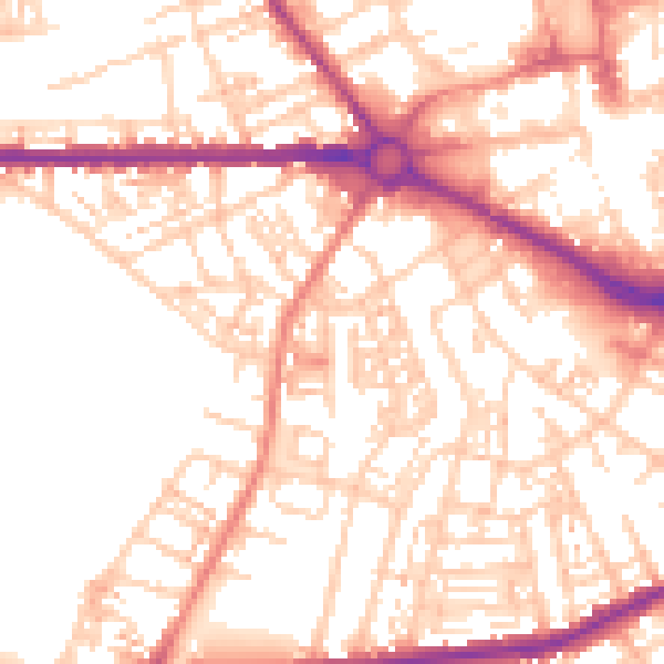
Daytime· 07:00 – 23:00
53.9dB

Night-time· 23:00 – 07:00
42.7dB