6 Brookside Drive, Barnsley, S70 3EF
About 6 Brookside Drive
6 Brookside Drive is a three-bedroom detached house in Barnsley (S70 3EF). It has a recorded floor area of 73 m² (around 786 sq ft), construction records dating it to 1967-1975 and council tax band C. The latest certificate (March 2017) shows a D (score 62), on the cusp of jumping into the C band. The recommended improvements would lift it to B (score 83), a 2-band jump.
Today's modelled estimate of £252,000 sits 60% above the 2017 sale of £157,500. On a £-per-square-foot basis, the last sale (£200/sq ft) was about 74.8% above the typical sold price in the postcode. One planning record on file: an extension approved in 2024. Past consents include an extension, meaningful when judging how the property has evolved. Last changed hands 9 years ago, in October 2017. At 73 m² it's 19.8% smaller than the typical home in the postcode (91 m² median across 4 EPCs).
Know exactly what you're buying at 6 Brookside Drive
Before you offer, see what the listing won't tell you, the true value, the red flags and the full history.
Valuation
against the asking price
Risks
planning & flood
Sold prices
similar homes nearby
Trends
the local market
What this property has
Inside
- Bedrooms3
- Bathrooms1
Outside
- Private gardenYes
- GarageIntegral
Building
- RefurbishedYes
Energy performance
Recommended upgrades on file would lift this property by multiple EPC bands.
EPC Rating
Planning history
6 Brookside Drive has an approved single-storey rear extension on the planning record.
- Mar 2024ExtensionFullIn report
Extension: Single storey · Rear of property
Single storey rear extension
- Documents
- 9 docs on file
- Reference
- 2024/0095
What's in 6 Brookside Drive, Barnsley, S70 3EF's planning history?
Refusals, disputes and full decisions on this property and nearby, in the report.
Sales history & valuation
6 Brookside Drive valuation sits well clear of the typical sold price in this postcode.
£252,000
Modelled from EPC, postcode comparables.
£157,500
Recorded with HM Land Registry.
Sales timeline
15 October 2017Most recent
£157,500
Median price across the last 5 sales in S70 3EF: £120,000 (2017–2002).
Everything we know about 6 Brookside Drive, in one report
What it's really worth, what could be wrong, and the planning, sales and area data in full.
- Am I paying too much?
- Is something wrong with it?
- Is the agent's story true?
- Will it hold its value?

Versus other Brookside Drive homes
Price per m² for 6 Brookside Drive runs comfortably ahead of the street norm.
Price per m²
£2,158
Street avg £1,514
Floor Area
73 m²
Street avg 101 m²
Habitable Rooms
5 rooms
Street avg 5 rooms
CO₂ Emissions
3.9 t/year
Street avg 4.6 t/year
Similar properties nearby
1 Brookside Drive
S70 3EF
1 Applehurst Bank
S70 3QW
1 Blackthorne Court
S70 3NL
1 Bracken Court
S70 3NY
1 Boundary Street
S70 3QU
1 Chestnut Crescent
S70 3NW
1 Calabria Grove
S70 3QJ
1 East Wing Cottages, Mitchell Street, Swaithe
S70 3QF
The neighbourhood at a glance
Reported crime in the wider district is trending notably upward year-on-year.
Crime
5/mo
Rising year-on-year across the wider district.
Nearest stop
0.3 km
Hunningley Lane/Burnsall Grove — bus stop.
Closest school
0.3 km
Hunningley Primary Academy. 14 schools nearby.
Go deeper on the local area
The full report breaks down crime, transport links, schools and air quality in depth.
Road noise across the postcode
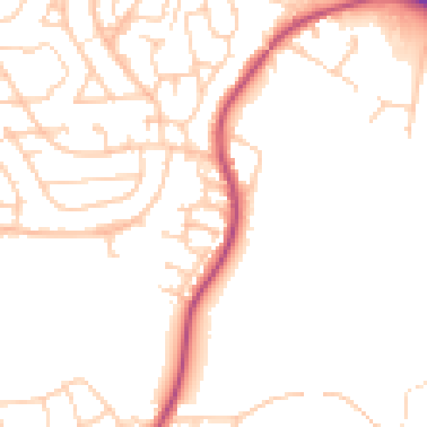
Daytime· 07:00 – 23:00
49.1dB

Night-time· 23:00 – 07:00
39.7dB