2 Mellor Lea Farm Close, Ecclesfield, Sheffield, S35 9TW
About 2 Mellor Lea Farm Close
2 Mellor Lea Farm Close is a property in Ecclesfield, Sheffield, Sheffield (S35 9TW). It has council tax band D.
Held since February 1997 — that's 29 years off the open market, well above the local norm. Only one transfer is on record with HM Land Registry, suggesting it has stayed in the same hands for a long time.
Know exactly what you're buying at 2 Mellor Lea Farm Close
Before you offer, see what the listing won't tell you, the true value, the red flags and the full history.
Valuation
against the asking price
Risks
planning & flood
Sold prices
similar homes nearby
Trends
the local market
Energy performance
No EPC on record
This property doesn't have an Energy Performance Certificate yet. An EPC is required to sell or let — and unlocks our automated valuation.
Planning history
2 Mellor Lea Farm Close has no planning applications on record.
The full report still covers planning activity across the surrounding area.
Sales history & valuation
2 Mellor Lea Farm Close has been held in the same hands since before 2000.
£81,950
Recorded with HM Land Registry.
Sales timeline
28 February 1997Most recent
£81,950
Median price across the last 5 sales in S35 9TW: £208,000 (2024–2007).
Nearby sales in S35 9TW
4 Mellor Lea Farm Close, Ecclesfield, Sheffield, S35 9TW
Sold Nov 2024
£282,0001 Mellor Lea Farm Close, Ecclesfield, Sheffield, S35 9TW
Sold Mar 2020
£282,5008 Mellor Lea Farm Close, Ecclesfield, Sheffield, S35 9TW
Sold Nov 2014
£195,00010 Mellor Lea Farm Close, Ecclesfield, Sheffield, S35 9TW
Sold Aug 2011
£183,0006 Mellor Lea Farm Close, Ecclesfield, Sheffield, S35 9TW
Sold May 1997
£79,950
Everything we know about 2 Mellor Lea Farm Close, in one report
What it's really worth, what could be wrong, and the planning, sales and area data in full.
- Am I paying too much?
- Is something wrong with it?
- Is the agent's story true?
- Will it hold its value?

Similar properties nearby
1 Allen Gardens, Allen Road, Ecclesfield
S35 9TT
1 Chapeltown Road, Ecclesfield
S35 9WD
1 Crakehall Road, Ecclesfield
S35 9WQ
1 Cross Hill Close, Ecclesfield
S35 9WW
1 Dearden Court, Ecclesfield
S35 9ZR
1 Ecclesfield Close, Ecclesfield
S35 9AF
1 Ecclesfield Court, Ecclesfield
S35 9AD
1 Ecclesfield Mews, Ecclesfield
S35 9AE
The neighbourhood at a glance
Crime
2/mo
Steady year-on-year across the wider district.
Nearest stop
0.1 km
Nether Lane/Johnson Lane — bus stop.
Closest school
0.5 km
Chapeltown Academy. 19 schools nearby.
Go deeper on the local area
The full report breaks down crime, transport links, schools and air quality in depth.
Road noise across the postcode
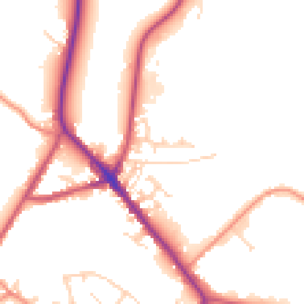
Daytime· 07:00 – 23:00
51.3dB
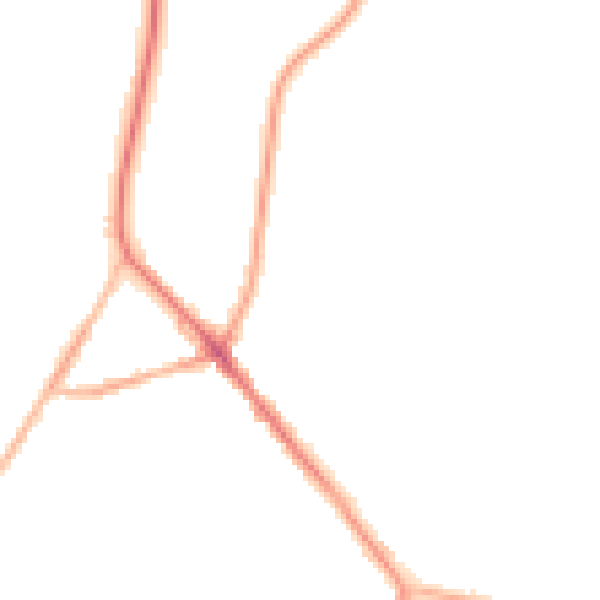
Night-time· 23:00 – 07:00
42.7dB