51 Lambrell Green, Kiveton Park, Sheffield, S26 5NT
About 51 Lambrell Green
51 Lambrell Green is a four-bedroom detached house in Kiveton Park, Sheffield, Sheffield (S26 5NT). It has a recorded floor area of 108 m² (around 1163 sq ft), construction records dating it to 2007 onwards and council tax band D. The latest certificate (August 2016) shows a C (score 74). The recommended improvements would push it to B (score 85).
At 108 m² it's 20% larger than the typical home in the postcode (90 m² median across 35 EPCs). Across 2008–2024, sale prices on this property compounded at 1.6% per year. Today's modelled estimate of £294,000 is 13.1% above the 2024 sale price. On a £-per-square-foot basis, the last sale (£224/sq ft) was about 49.4% above the typical sold price in the postcode. Most recent transfer: May 2024 at £260,000.
What this property has
Inside
- Bedrooms4
- Bathrooms2
Everything you need to know about 51 Lambrell Green
The true value, the hidden risks and the full sale history, in one report.
30-day money-back guarantee

The data behind every report


Energy performance
EPC Rating
Planning history
51 Lambrell Green has no planning applications on record.
The full report still covers planning activity across the surrounding area.
Sales history & valuation
51 Lambrell Green valuation sits well clear of the typical sold price in this postcode.
£294,000
Modelled from EPC, postcode comparables and a sale-price growth of 1.6% per year over 16 years.
£260,000
Growth on file: 1.6% per year over 16 years.
Sales timeline
2 May 2024Most recent
£260,000
+40.5%over 7 years17 February 2017
£185,000
-7.5%over 8 years14 March 2008
£199,950
Median price across the last 5 sales in S26 5NT: £270,000 (2025–2024).
Nearby sales in S26 5NT
18 Lambrell Green, Kiveton Park, Sheffield, S26 5NT
Sold Feb 2025
£270,00055 Lambrell Green, Kiveton Park, Sheffield, S26 5NT
Sold Dec 2024
£325,0004 Lambrell Green, Kiveton Park, Sheffield, S26 5NT
Sold Nov 2024
£290,00057 Lambrell Green, Kiveton Park, Sheffield, S26 5NT
Sold Sept 2024
£212,00014 Lambrell Green, Kiveton Park, Sheffield, S26 5NT
Sold Jul 2024
£240,000
Versus other Lambrell Green homes
CO₂ Emissions for 51 Lambrell Green lags the street by a wide margin.
Price per m²
£2,407
Street avg £1,766
Floor Area
108 m²
Street avg 98 m²
Habitable Rooms
6 rooms
Street avg 6 rooms
CO₂ Emissions
3.0 t/year
Street avg 2.1 t/year
Everything you need to know about 51 Lambrell Green
The true value, the hidden risks and the full sale history, in one report.
30-day money-back guarantee
The data behind every report
Similar properties nearby
1 Fir Tree Drive, Wales
S26 5LZ
1 Beeches Road, Wales
S26 5RR
1 Ashby Drive, Kiveton Park
S26 5PU
1 Brooklands Croft, Wales
S26 5QB
1 Church Close, Kiveton Park
S26 5LP
1 Ash Grove, Kiveton Park
S26 5LE
1 Lime Tree Avenue, Kiveton Park
S26 5NY
1 Horseshoe Close, Wales
S26 5PZ
The neighbourhood at a glance
Rail-style transport is unusually close for this postcode.
Crime
4/mo
Steady year-on-year across the wider district.
Nearest stop
0.4 km
Wales Road/Chestnut Avenue — bus stop.
Closest school
0.7 km
Wales High School. 9 schools nearby.
Go deeper on the local area
The full report breaks down crime, transport links, schools and air quality in depth.
Road noise across the postcode
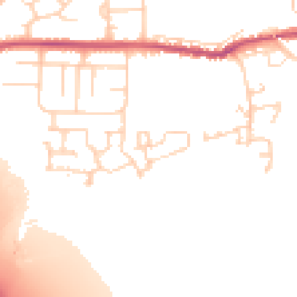
Daytime· 07:00 – 23:00
50.9dB

Night-time· 23:00 – 07:00
42.6dB