2 Highmoor Avenue, Kiveton Park, Sheffield, S26 5NF
About 2 Highmoor Avenue
2 Highmoor Avenue is a detached house in Kiveton Park, Sheffield, Sheffield (S26 5NF). It has a recorded floor area of 63 m² (around 678 sq ft), construction records dating it to 1950-1966 and council tax band A. The latest certificate (November 2025) shows a D (score 61), on the cusp of jumping into the C band. Earlier certificates rated it C (April 2017); the latest reading is one band lower. Between certificates, lighting went from Average to Good; while window efficiency dropped from Good to Average. The recommended improvements would push it to C (score 70).
Everything you need to know about 2 Highmoor Avenue
The true value, the hidden risks and the full sale history, in one report.
30-day money-back guarantee

The data behind every report


Energy performance
EPC Rating
Property Improvements
Changes detected from historical EPC data
Roof insulation improved
More low energy lighting installed
Wall insulation improved
More low energy lighting installed
Planning history
2 Highmoor Avenue has no planning applications on record.
The full report still covers planning activity across the surrounding area.
Sales history & valuation
2 Highmoor Avenue has no Land Registry sales on file, suggesting it has stayed in the same hands since registration began.
£162,000
Modelled from EPC, postcode comparables.
No sales recorded with HM Land Registry
That can mean the property has never traded since the registry began publishing in 1995, was a new build that hasn't been registered yet, or is held in the same hands long-term.
Versus other Highmoor Avenue homes
On epc rating, 2 Highmoor Avenue runs well behind the street norm.
EPC Rating
61 (D)
Street avg 63 (D)
Floor Area
63 m²
Street avg 62 m²
CO₂ Emissions
2.4 t/year
Street avg 2.8 t/year
Habitable Rooms
3 rooms
Street avg 3 rooms
Everything you need to know about 2 Highmoor Avenue
The true value, the hidden risks and the full sale history, in one report.
30-day money-back guarantee
The data behind every report
Similar properties nearby
1 Highmoor Avenue, Kiveton Park
S26 5NF
1 Church Street, Wales
S26 5LQ
1 Lime Tree Avenue, Kiveton Park
S26 5NY
1 Ash Grove, Kiveton Park
S26 5LE
1 Festival Close, Kiveton Park
S26 5LY
1 Lambrell Avenue, Kiveton Park
S26 5NS
1 Lestermoor Avenue, Kiveton Park
S26 5NX
1 Heartlands Close, Kiveton Park
S26 5QE
The neighbourhood at a glance
Rail-style transport is unusually close for this postcode.
Crime
4/mo
Steady year-on-year across the wider district.
Nearest stop
0.1 km
Wales Road/Lestermoor Avenue — bus stop.
Closest school
0.5 km
Wales High School. 9 schools nearby.
Go deeper on the local area
The full report breaks down crime, transport links, schools and air quality in depth.
Road noise across the postcode
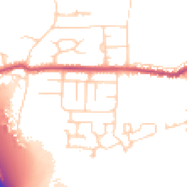
Daytime· 07:00 – 23:00
51.0dB

Night-time· 23:00 – 07:00
42.6dB