2 Hawthorne Place, Swallownest, Sheffield, S26 4WJ
About 2 Hawthorne Place
2 Hawthorne Place is a five-bedroom detached house in Swallownest, Sheffield, Sheffield (S26 4WJ). It has a recorded floor area of 146 m² (around 1571 sq ft), construction records dating it to 2003-2006 and council tax band F. The latest certificate (March 2009) shows a C (score 73). The latest certificate is from March 2009, so improvements made since then won't be reflected.
Across 2000–2019, sale prices on this property compounded at 8.3% per year. Today's modelled estimate of £367,000 is 12.9% above the 2019 sale price. 5 bedrooms is on the larger side for this postcode, where 3 is the typical count. Last sale on file: £325,000 in September 2019.
What this property has
Inside
- Bedrooms5
- EnsuiteYes
Outside
- GarageYes
Building
- Heating systemGas
Everything you need to know about 2 Hawthorne Place
The true value, the hidden risks and the full sale history, in one report.
30-day money-back guarantee

The data behind every report


Energy performance
2 Hawthorne Place's EPC is over a decade old — improvements since won't be reflected.
EPC Expired
This certificate is over 10 years old and is no longer valid.Expired 20 Mar 2019
EPC Rating
Planning history
2 Hawthorne Place has no planning applications on record.
The full report still covers planning activity across the surrounding area.
Sales history & valuation
2 Hawthorne Place has more than quadrupled in price since its earliest registered sale in 2000.
£367,000
Modelled from EPC, postcode comparables and a sale-price growth of 8.3% per year over 19 years.
£325,000
Growth on file: 8.3% per year over 19 years.
Sales timeline
26 September 2019Most recent
£325,000
+357.7%over 19 years24 July 2000
£71,000
Median price across the last 2 sales in S26 4WJ: £201,225 (2015–2007).
Nearby sales in S26 4WJ
Everything you need to know about 2 Hawthorne Place
The true value, the hidden risks and the full sale history, in one report.
30-day money-back guarantee
The data behind every report
Similar properties nearby
1 Baxter Close, Swallownest
S26 4XB
1 Alexandra Road, Swallownest
S26 4TA
1 Alpina Way, Swallownest
S26 4QA
1 Holly Terrace, Swallownest
S26 4SQ
1 Camelia Mews, Swallownest
S26 4QB
1 Hawthorne Place, Swallownest
S26 4WJ
1 Fane Crescent, Swallownest
S26 4TS
1 Chestnut Road, Swallownest
S26 4SJ
The neighbourhood at a glance
Crime
4/mo
Steady year-on-year across the wider district.
Nearest stop
0.0 km
Lodge Lane/School Grove — bus stop.
Closest school
0.1 km
Aston All Saints CofE (A) Primary School. 12 schools nearby.
Go deeper on the local area
The full report breaks down crime, transport links, schools and air quality in depth.
Road noise across the postcode
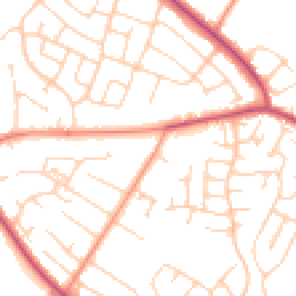
Daytime· 07:00 – 23:00
50.8dB

Night-time· 23:00 – 07:00
39.8dB