11 Fane Crescent, Swallownest, Sheffield, S26 4TS
About 11 Fane Crescent
11 Fane Crescent is a property in Swallownest, Sheffield, Sheffield (S26 4TS). It has council tax band A.
Untraded for 30 years, with the last transfer in November 1996. Only one transfer is on record with HM Land Registry, suggesting it has stayed in the same hands for a long time.
Everything you need to know about 11 Fane Crescent
The true value, the hidden risks and the full sale history, in one report.
30-day money-back guarantee

The data behind every report


Energy performance
No EPC on record
This property doesn't have an Energy Performance Certificate yet. An EPC is required to sell or let — and unlocks our automated valuation.
Planning history
11 Fane Crescent has no planning applications on record.
The full report still covers planning activity across the surrounding area.
Sales history & valuation
Latest sale on 11 Fane Crescent was the lowest on Land Registry record across the postcode.
£32,000
Recorded with HM Land Registry.
Sales timeline
29 November 1996Most recent
£32,000
Median price across the last 5 sales in S26 4TS: £140,000 (2025–2018).
Nearby sales in S26 4TS
12 Fane Crescent, Swallownest, Sheffield, S26 4TS
Sold Mar 2025
£140,0001 Fane Crescent, Swallownest, Sheffield, S26 4TS
Sold Feb 2025
£177,0008 Fane Crescent, Swallownest, Sheffield, S26 4TS
Sold Oct 2022
£140,00018 Fane Crescent, Swallownest, Sheffield, S26 4TS
Sold Oct 2020
£98,00013 Fane Crescent, Swallownest, Sheffield, S26 4TS
Sold Sept 2018
£119,000
Everything you need to know about 11 Fane Crescent
The true value, the hidden risks and the full sale history, in one report.
30-day money-back guarantee
The data behind every report
Similar properties nearby
1 Alexandra Road, Swallownest
S26 4TA
1 Alison Close, Swallownest
S26 4RN
1 Alison Drive, Swallownest
S26 4RP
1 Alpina Way, Swallownest
S26 4QA
1 Arcubus Avenue, Swallownest
S26 4TD
1 Aunby Drive, Swallownest
S26 4TJ
1 Aysgarth Rise, Swallownest
S26 4SS
1 Baxter Close, Swallownest
S26 4XB
The neighbourhood at a glance
Crime
4/mo
Steady year-on-year across the wider district.
Nearest stop
0.1 km
Holderness Drive/Fane Crescent — bus stop.
Closest school
0.4 km
Springwood Primary Academy. 12 schools nearby.
Go deeper on the local area
The full report breaks down crime, transport links, schools and air quality in depth.
Road noise across the postcode
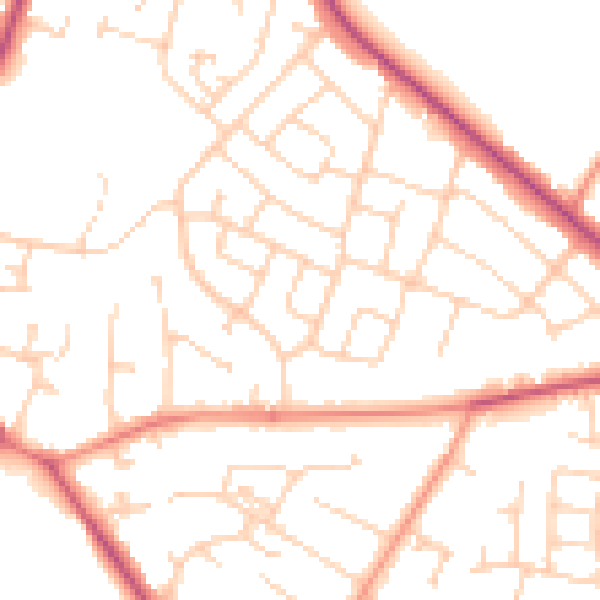
Daytime· 07:00 – 23:00
50.4dB

Night-time· 23:00 – 07:00
39.9dB