2 Egerton Road, Swallownest, Sheffield, S26 4TQ
About 2 Egerton Road
2 Egerton Road is a two-bedroom semi-detached house in Swallownest, Sheffield, Sheffield (S26 4TQ). It has a recorded floor area of 90 m² (around 969 sq ft), construction records dating it to 1900-1929 and council tax band A. The latest certificate (May 2018) shows an E (score 47), well below the UK norm with real room to improve. The recommended improvements would lift it to C (score 71), a 2-band jump. The home occupies a cul-de-sac position.
At 90 m² the property is well over the postcode median (65 m² across 3 EPCs), placing it in the larger end of the local stock. Across 2002–2018, sale prices on this property compounded at 7.2% per year. Today's modelled estimate of £151,000 is 39.8% above the 2018 sale price. On a £-per-square-foot basis, the last sale (£111/sq ft) was about 18% below the postcode norm. Last sale on file: £108,000 in December 2018.
What this property has
Inside
- Bedrooms2
- Bathrooms1
- StudyYes
Outside
- Private gardenRear
- Cul-de-sacYes
Building
- Heating systemGas
- RefurbishedYes
Everything you need to know about 2 Egerton Road
The true value, the hidden risks and the full sale history, in one report.
30-day money-back guarantee

The data behind every report


Energy performance
2 Egerton Road's carbon output runs well above what efficient homes in the postcode produce.
EPC Rating
Planning history
2 Egerton Road has no planning applications on record.
The full report still covers planning activity across the surrounding area.
Sales history & valuation
Sale price has grown by over 3x since 2002.
£151,000
Modelled from EPC, postcode comparables and a sale-price growth of 7.2% per year over 17 years.
£108,000
Growth on file: 7.2% per year over 17 years.
Sales timeline
7 December 2018Most recent
£108,000
+222.4%over 16 years1 February 2002
£33,500
Median price across the last 5 sales in S26 4TQ: £101,000 (2023–2006).
Versus other Egerton Road homes
2 Egerton Road is notably below the street on epc rating.
EPC Rating
47 (E)
Street avg 61 (D)
Floor Area
90 m²
Street avg 66 m²
CO₂ Emissions
6.1 t/year
Street avg 3.5 t/year
Habitable Rooms
5 rooms
Street avg 4 rooms
Everything you need to know about 2 Egerton Road
The true value, the hidden risks and the full sale history, in one report.
30-day money-back guarantee
The data behind every report
Similar properties nearby
1 Aysgarth Rise, Swallownest
S26 4SS
1 Bedale Close, Swallownest
S26 4NF
1 Arcubus Avenue, Swallownest
S26 4TD
1 Fane Crescent, Swallownest
S26 4TS
1 Camelia Mews, Swallownest
S26 4QB
1 Holly Terrace, Swallownest
S26 4SQ
1 Alpina Way, Swallownest
S26 4QA
1 Alexandra Road, Swallownest
S26 4TA
The neighbourhood at a glance
Crime
4/mo
Steady year-on-year across the wider district.
Nearest stop
0.1 km
Worksop Road/Egerton Road — bus stop.
Closest school
0.5 km
Aston All Saints CofE (A) Primary School. 12 schools nearby.
Go deeper on the local area
The full report breaks down crime, transport links, schools and air quality in depth.
Road noise across the postcode
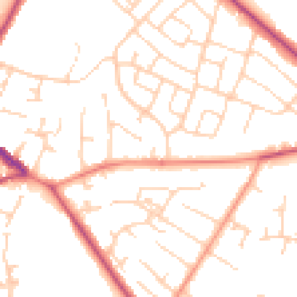
Daytime· 07:00 – 23:00
50.2dB

Night-time· 23:00 – 07:00
39.9dB