2 Holly Terrace, Swallownest, Sheffield, S26 4SQ
About 2 Holly Terrace
2 Holly Terrace is a semi-detached house in Swallownest, Sheffield, Sheffield (S26 4SQ). It has a recorded floor area of 91 m² (around 980 sq ft), construction records dating it to 1967-1975 and council tax band B. The latest certificate (November 2014) shows a D (score 57), a step below the typical UK home. The recommended improvements would lift it to B (score 82), a 2-band jump. The latest certificate is from November 2014, so improvements made since then won't be reflected.
Everything you need to know about 2 Holly Terrace
The true value, the hidden risks and the full sale history, in one report.
30-day money-back guarantee

The data behind every report


Energy performance
Recommended upgrades on file would lift this property by multiple EPC bands.
EPC Expired
This certificate is over 10 years old and is no longer valid.Expired 12 Nov 2024
EPC Rating
Planning history
2 Holly Terrace has no planning applications on record.
The full report still covers planning activity across the surrounding area.
Sales history & valuation
2 Holly Terrace has no Land Registry sales on file, suggesting it has stayed in the same hands since registration began.
£169,000
Modelled from EPC, postcode comparables.
No sales recorded with HM Land Registry
That can mean the property has never traded since the registry began publishing in 1995, was a new build that hasn't been registered yet, or is held in the same hands long-term.
Median price across the last 5 sales in S26 4SQ: £182,500 (2023–2015).
Nearby sales in S26 4SQ
Versus other Holly Terrace homes
On epc rating, 2 Holly Terrace runs well behind the street norm.
EPC Rating
57 (D)
Street avg 67 (D)
Floor Area
91 m²
Street avg 100 m²
CO₂ Emissions
5.4 t/year
Street avg 4.2 t/year
Habitable Rooms
4 rooms
Street avg 5 rooms
Everything you need to know about 2 Holly Terrace
The true value, the hidden risks and the full sale history, in one report.
30-day money-back guarantee
The data behind every report
Similar properties nearby
1 Aysgarth Rise, Swallownest
S26 4SS
1 Eden Glade, Swallownest
S26 4WG
1 Catherine Avenue, Swallownest
S26 4RQ
1 Florence Avenue, Swallownest
S26 4RL
1 Fane Crescent, Swallownest
S26 4TS
1 Aunby Drive, Swallownest
S26 4TJ
1 Arcubus Avenue, Swallownest
S26 4TD
1 Camelia Mews, Swallownest
S26 4QB
The neighbourhood at a glance
Daytime road noise here sits well below conversation level — a quiet pocket of the postcode.
Crime
4/mo
Steady year-on-year across the wider district.
Nearest stop
0.1 km
Aughton Road/Beech Way — bus stop.
Closest school
0.2 km
Aston Academy. 13 schools nearby.
Go deeper on the local area
The full report breaks down crime, transport links, schools and air quality in depth.
Road noise across the postcode
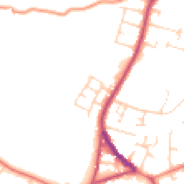
Daytime· 07:00 – 23:00
47.4dB

Night-time· 23:00 – 07:00
39.0dB