9 Chestnut Road, Swallownest, Sheffield, S26 4SJ
About 9 Chestnut Road
9 Chestnut Road is a semi-detached house in Swallownest, Sheffield, Sheffield (S26 4SJ). It has a recorded floor area of 102 m² (around 1098 sq ft), construction records dating it to 1967-1975 and council tax band B. The latest certificate (December 2014) shows a D (score 63), on the cusp of jumping into the C band. The recommended improvements would push it to C (score 79). The latest certificate is from December 2014, so improvements made since then won't be reflected.
It hasn't traded since March 2004, a hold of 22 years that's notably long for the area. At 102 m² the property is well over the postcode median (69 m² across 29 EPCs), placing it in the larger end of the local stock. Today's modelled estimate of £203,000 sits 153.8% above the 2004 sale of £80,000. On a £-per-square-foot basis, the last sale (£73/sq ft) was about 56.4% below the postcode norm.
Everything you need to know about 9 Chestnut Road
The true value, the hidden risks and the full sale history, in one report.
30-day money-back guarantee

The data behind every report


Energy performance
9 Chestnut Road's EPC is over a decade old — improvements since won't be reflected.
EPC Expired
This certificate is over 10 years old and is no longer valid.Expired 18 Dec 2024
EPC Rating
Planning history
9 Chestnut Road has no planning applications on record.
The full report still covers planning activity across the surrounding area.
Sales history & valuation
9 Chestnut Road valuation sits well clear of the typical sold price in this postcode.
£203,000
Modelled from EPC, postcode comparables.
£80,000
Recorded with HM Land Registry.
Sales timeline
17 March 2004Most recent
£80,000
Median price across the last 5 sales in S26 4SJ: £190,000 (2025–2022).
Nearby sales in S26 4SJ
29 Chestnut Road, Swallownest, Sheffield, S26 4SJ
Sold Mar 2025
£385,00093 Chestnut Road, Swallownest, Sheffield, S26 4SJ
Sold Mar 2024
£190,000107 Chestnut Road, Swallownest, Sheffield, S26 4SJ
Sold Jun 2023
£190,0005 Chestnut Road, Swallownest, Sheffield, S26 4SJ
Sold Mar 2023
£215,00085 Chestnut Road, Swallownest, Sheffield, S26 4SJ
Sold May 2022
£184,000
Versus other Chestnut Road homes
On price per m², 9 Chestnut Road runs well behind the street norm.
Price per m²
£784
Street avg £2,171
Floor Area
102 m²
Street avg 74 m²
Habitable Rooms
4 rooms
Street avg 4 rooms
CO₂ Emissions
4.8 t/year
Street avg 3.8 t/year
Everything you need to know about 9 Chestnut Road
The true value, the hidden risks and the full sale history, in one report.
30-day money-back guarantee
The data behind every report
Similar properties nearby
1 Camelia Mews, Swallownest
S26 4QB
1 Eden View, Swallownest
S26 4WN
1 Fane Crescent, Swallownest
S26 4TS
1 Holly Terrace, Swallownest
S26 4SQ
1 Alpina Way, Swallownest
S26 4QA
1 Eden Glade, Swallownest
S26 4WG
1 Alexandra Road, Swallownest
S26 4TA
1 Aysgarth Rise, Swallownest
S26 4SS
The neighbourhood at a glance
Daytime road noise here sits well below conversation level — a quiet pocket of the postcode.
Crime
4/mo
Steady year-on-year across the wider district.
Nearest stop
0.2 km
Aughton Road/Beech Way — bus stop.
Closest school
0.2 km
Aston Academy. 13 schools nearby.
Go deeper on the local area
The full report breaks down crime, transport links, schools and air quality in depth.
Road noise across the postcode
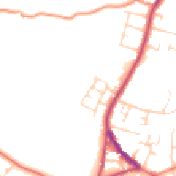
Daytime· 07:00 – 23:00
47.2dB

Night-time· 23:00 – 07:00
38.8dB