11a, Hoveringham Court, Swallownest, Sheffield, S26 4PA
About 11a
11a is a semi-detached house in Swallownest, Sheffield, Sheffield (S26 4PA). It has a recorded floor area of 43 m² (around 463 sq ft), construction records dating it to 1983-1990 and council tax band A. At 43 m² this is the 7th smallest of 19 units on EPC record in the building, where floor areas span 38–47 m². The building's EPC ratings span E to C, with this unit at the bottom. On EPC score it ranks last in the building (51 versus a best of 75). The latest certificate (September 2012) shows an E (score 51), well below the UK norm with real room to improve. The recommended improvements would push it to D (score 67). Main heating runs on electricity. The latest certificate is from September 2012, so improvements made since then won't be reflected.
Held since December 2000 — that's 25 years off the open market, well above the local norm. Only one transfer is on record with HM Land Registry, suggesting it has stayed in the same hands for a long time. On energy efficiency it sits in the bottom 10% of properties in this postcode — significant headroom for improvement. Today's modelled estimate of £107,000 sits 282.1% above the 2000 sale of £28,000. On a £-per-square-foot basis, the last sale (£60/sq ft) was about 63.4% below the postcode norm.
Everything you need to know about 11a
The true value, the hidden risks and the full sale history, in one report.
30-day money-back guarantee

The data behind every report


Energy performance
11a sits at the bottom of the postcode for energy efficiency — meaningful headroom to improve.
EPC Expired
This certificate is over 10 years old and is no longer valid.Expired 17 Sept 2022
EPC Rating
Planning history
11a has no planning applications on record.
The full report still covers planning activity across the surrounding area.
Sales history & valuation
11a's estimated value is more than triple its earliest registered sale price (2000).
£107,000
Modelled from EPC, postcode comparables.
£28,000
Recorded with HM Land Registry.
Sales timeline
15 December 2000Most recent
£28,000
Median price across the last 5 sales in S26 4PA: £97,500 (2025–2023).
Nearby sales in S26 4PA
3 Hoveringham Court, Swallownest, Sheffield, S26 4PA
Sold May 2025
£97,5009 Hoveringham Court, Swallownest, Sheffield, S26 4PA
Sold Sept 2024
£125,00015 Hoveringham Court, Swallownest, Sheffield, S26 4PA
Sold Jul 2024
£95,0001 Hoveringham Court, Swallownest, Sheffield, S26 4PA
Sold Jan 2024
£96,0006 Hoveringham Court, Swallownest, Sheffield, S26 4PA
Sold Jun 2023
£110,000
Versus other Hoveringham Court homes
Price per m² for 11a lags the street by a wide margin.
Price per m²
£651
Street avg £2,087
Floor Area
43 m²
Street avg 44 m²
Habitable Rooms
2 rooms
Street avg 3 rooms
CO₂ Emissions
4.9 t/year
Street avg 2.0 t/year
Everything you need to know about 11a
The true value, the hidden risks and the full sale history, in one report.
30-day money-back guarantee
The data behind every report
Similar properties nearby
1 Beverley Close, Swallownest
S26 4NB
1 Alison Drive, Swallownest
S26 4RP
1 Alison Close, Swallownest
S26 4RN
1 Bedale Close, Swallownest
S26 4NF
1 Holderness Drive, Swallownest
S26 4TW
1 Hilary Way, Swallownest
S26 4ND
1 Egerton Road, Swallownest
S26 4TQ
1 Darcy Close, Swallownest
S26 4TN
The neighbourhood at a glance
Crime
4/mo
Steady year-on-year across the wider district.
Nearest stop
0.2 km
Chesterfield Road/Park Drive — bus stop.
Closest school
0.6 km
Swallownest Primary School. 14 schools nearby.
Go deeper on the local area
The full report breaks down crime, transport links, schools and air quality in depth.
Road noise across the postcode
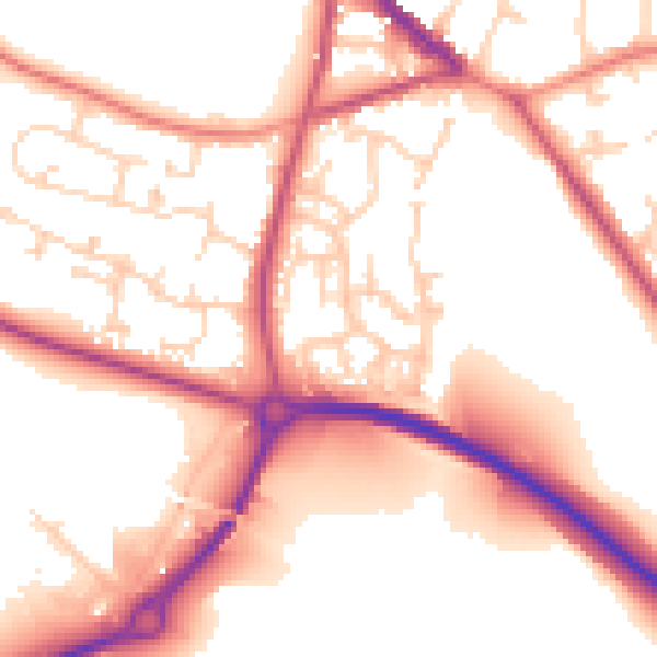
Daytime· 07:00 – 23:00
54.8dB

Night-time· 23:00 – 07:00
45.9dB