21 Helmsley Close, Swallownest, Sheffield, S26 4NU
About 21 Helmsley Close
21 Helmsley Close is a two-bedroom semi-detached house in Swallownest, Sheffield, Sheffield (S26 4NU). It has a recorded floor area of 48 m² (around 517 sq ft), construction records dating it to 1983-1990 and council tax band A. At 48 m² this is the 7th smallest of 19 units on EPC record in the building, where floor areas span 39–84 m². The building's EPC ratings span D to B across 19 units on file. The latest certificate (October 2019) shows a C (score 69), just inside the C band.
Held since May 2000 — that's 26 years off the open market, well above the local norm. Across 1996–2000, sale prices on this property compounded at -6.2% per year. Today's modelled estimate of £118,000 sits 436.4% above the 2000 sale of £22,000. On a £-per-square-foot basis, the last sale (£43/sq ft) was about 73.6% below the postcode norm.
What this property has
Inside
- Bedrooms2
- Bathrooms1
Outside
- ParkingOff road
Building
- Heating systemGas
Everything you need to know about 21 Helmsley Close
The true value, the hidden risks and the full sale history, in one report.
30-day money-back guarantee

The data behind every report


Energy performance
EPC Rating
Planning history
21 Helmsley Close has no planning applications on record.
The full report still covers planning activity across the surrounding area.
Sales history & valuation
21 Helmsley Close's modelled value sits at over four times its earliest registered sale price (1996).
£118,000
Modelled from EPC, postcode comparables and a sale-price growth of -6.2% per year over 4 years.
£22,000
Growth on file: -6.2% per year over 4 years.
Sales timeline
23 May 2000Most recent
£22,000
-22.8%over 4 years28 April 1996
£28,500
Median price across the last 5 sales in S26 4NU: £170,000 (2024–2022).
Nearby sales in S26 4NU
11 Helmsley Close, Swallownest, Sheffield, S26 4NU
Sold Nov 2024
£165,0004 Helmsley Close, Swallownest, Sheffield, S26 4NU
Sold Nov 2024
£195,00023 Helmsley Close, Swallownest, Sheffield, S26 4NU
Sold Jul 2024
£135,00012 Helmsley Close, Swallownest, Sheffield, S26 4NU
Sold Jun 2023
£170,0006 Helmsley Close, Swallownest, Sheffield, S26 4NU
Sold Dec 2022
£195,000
Versus other Helmsley Close homes
Price per m² for 21 Helmsley Close lags the street by a wide margin.
Price per m²
£458
Street avg £1,328
Floor Area
48 m²
Street avg 44 m²
Habitable Rooms
3 rooms
Street avg 3 rooms
CO₂ Emissions
2.0 t/year
Street avg 1.8 t/year
Everything you need to know about 21 Helmsley Close
The true value, the hidden risks and the full sale history, in one report.
30-day money-back guarantee
The data behind every report
Similar properties nearby
1 Bedale Close, Swallownest
S26 4NF
1 Aysgarth Rise, Swallownest
S26 4SS
1 Arcubus Avenue, Swallownest
S26 4TD
1 Fane Crescent, Swallownest
S26 4TS
1 Camelia Mews, Swallownest
S26 4QB
1 Holly Terrace, Swallownest
S26 4SQ
1 Alpina Way, Swallownest
S26 4QA
1 Alexandra Road, Swallownest
S26 4TA
The neighbourhood at a glance
Crime
4/mo
Steady year-on-year across the wider district.
Nearest stop
0.2 km
Chesterfield Road/Park Drive — bus stop.
Closest school
0.6 km
Swallownest Primary School. 13 schools nearby.
Go deeper on the local area
The full report breaks down crime, transport links, schools and air quality in depth.
Road noise across the postcode
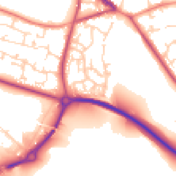
Daytime· 07:00 – 23:00
54.9dB

Night-time· 23:00 – 07:00
46.2dB