10 Manor Farm Close, Aughton, Sheffield, S26 3XY
About 10 Manor Farm Close
10 Manor Farm Close is a semi-detached house in Aughton, Sheffield, Sheffield (S26 3XY). It has a recorded floor area of 60 m² (around 646 sq ft), construction records dating it to 1983-1990 and council tax band B. The latest certificate (November 2013) shows a D (score 68), on the cusp of jumping into the C band. The recommended improvements would lift it to B (score 86), a 2-band jump. The latest certificate is from November 2013, so improvements made since then won't be reflected.
At 60 m² it sits well below the postcode median (86 m² across 20 EPCs), making it one of the more compact homes locally.
Everything you need to know about 10 Manor Farm Close
The true value, the hidden risks and the full sale history, in one report.
30-day money-back guarantee

The data behind every report


Energy performance
Recommended upgrades on file would lift this property by multiple EPC bands.
EPC Expired
This certificate is over 10 years old and is no longer valid.Expired 12 Nov 2023
EPC Rating
Planning history
10 Manor Farm Close has no planning applications on record.
The full report still covers planning activity across the surrounding area.
Sales history & valuation
10 Manor Farm Close has no Land Registry sales on file, suggesting it has stayed in the same hands since registration began.
£153,000
Modelled from EPC, postcode comparables.
No sales recorded with HM Land Registry
That can mean the property has never traded since the registry began publishing in 1995, was a new build that hasn't been registered yet, or is held in the same hands long-term.
Median price across the last 5 sales in S26 3XY: £180,000 (2024–2020).
Nearby sales in S26 3XY
3 Manor Farm Close, Aughton, Sheffield, S26 3XY
Sold Nov 2024
£170,00011 Manor Farm Close, Aughton, Sheffield, S26 3XY
Sold Jan 2022
£172,0006 Manor Farm Close, Aughton, Sheffield, S26 3XY
Sold Jul 2021
£180,00022 Manor Farm Close, Aughton, Sheffield, S26 3XY
Sold Dec 2020
£225,00019 Manor Farm Close, Aughton, Sheffield, S26 3XY
Sold Oct 2020
£225,000
Versus other Manor Farm Close homes
10 Manor Farm Close outperforms the street on co₂ emissions by a wide margin.
EPC Rating
68 (D)
Street avg 62 (D)
Floor Area
60 m²
Street avg 87 m²
CO₂ Emissions
2.4 t/year
Street avg 4.0 t/year
Habitable Rooms
3 rooms
Street avg 5 rooms
Everything you need to know about 10 Manor Farm Close
The true value, the hidden risks and the full sale history, in one report.
30-day money-back guarantee
The data behind every report
Similar properties nearby
The neighbourhood at a glance
Crime
4/mo
Steady year-on-year across the wider district.
Nearest stop
0.1 km
Main Street/Aston Lane — bus stop.
Closest school
0.3 km
Aughton Primary Academy. 9 schools nearby.
Go deeper on the local area
The full report breaks down crime, transport links, schools and air quality in depth.
Road noise across the postcode
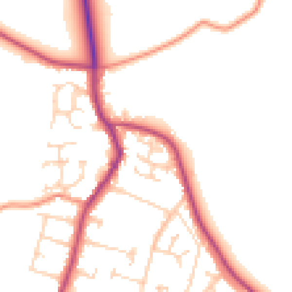
Daytime· 07:00 – 23:00
50.2dB

Night-time· 23:00 – 07:00
42.0dB