20 Westfield Avenue, Aughton, Sheffield, S26 3XR
About 20 Westfield Avenue
20 Westfield Avenue is a three-bedroom semi-detached house in Aughton, Sheffield, Sheffield (S26 3XR). It has a recorded floor area of 71 m² (around 764 sq ft), construction records dating it to 1930-1949 and council tax band A. The latest certificate (September 2023) shows a D (score 66), on the cusp of jumping into the C band. The recommended improvements would lift it to B (score 81), a 2-band jump.
Across 2001–2024, sale prices on this property compounded at 6% per year. Today's modelled estimate of £174,000 is 16.2% above the 2024 sale price. On a £-per-square-foot basis, the last sale (£196/sq ft) was about 54.6% above the typical sold price in the postcode. Sold July 2024 for £149,725.
What this property has
Inside
- Bedrooms3
- Bathrooms1
- CloakroomYes
Outside
- Private gardenRear
Building
- RefurbishedYes
Everything you need to know about 20 Westfield Avenue
The true value, the hidden risks and the full sale history, in one report.
30-day money-back guarantee

The data behind every report


Energy performance
Recommended upgrades on file would lift this property by multiple EPC bands.
EPC Rating
Planning history
20 Westfield Avenue has no planning applications on record.
The full report still covers planning activity across the surrounding area.
Sales history & valuation
Sale price has grown by over 3x since 2001.
£174,000
Modelled from EPC, postcode comparables and a sale-price growth of 6.0% per year over 23 years.
£149,725
Growth on file: 6.0% per year over 23 years.
Sales timeline
16 July 2024Most recent
£149,725
+274.8%over 22 years17 October 2001
£39,950
Median price across the last 5 sales in S26 3XR: £150,000 (2025–2016).
Nearby sales in S26 3XR
30 Westfield Avenue, Aughton, Sheffield, S26 3XR
Sold Jan 2025
£180,00014 Westfield Avenue, Aughton, Sheffield, S26 3XR
Sold Nov 2024
£155,0007 Westfield Avenue, Aughton, Sheffield, S26 3XR
Sold Nov 2021
£150,00018 Westfield Avenue, Aughton, Sheffield, S26 3XR
Sold Dec 2020
£149,00028 Westfield Avenue, Aughton, Sheffield, S26 3XR
Sold Jul 2016
£99,000
Versus other Westfield Avenue homes
CO₂ Emissions for 20 Westfield Avenue lags the street by a wide margin.
Price per m²
£2,109
Street avg £1,686
Floor Area
71 m²
Street avg 61 m²
Habitable Rooms
5 rooms
Street avg 4 rooms
CO₂ Emissions
3.7 t/year
Street avg 3.1 t/year
Everything you need to know about 20 Westfield Avenue
The true value, the hidden risks and the full sale history, in one report.
30-day money-back guarantee
The data behind every report
Similar properties nearby
1 Aughton Mews, Main Street, Aughton
S26 3YN
1 Nascot Gardens, Aughton
S26 3RZ
1 Coral Close, Aughton
S26 3RB
1 Ambler Rise, Aughton
S26 3RH
1 Turnshaw Road, Ulley
S26 3YG
1 Aughton Avenue, Aughton
S26 3XB
1 Grange Farm Cottages, Main Street, Aughton
S26 3XJ
1 Poynton Way, Ulley
S26 3YJ
The neighbourhood at a glance
Daytime road noise here sits well below conversation level — a quiet pocket of the postcode.
Crime
4/mo
Steady year-on-year across the wider district.
Nearest stop
0.1 km
Aughton Road/Westfield Avenue — bus stop.
Closest school
0.2 km
Aughton Primary Academy. 9 schools nearby.
Go deeper on the local area
The full report breaks down crime, transport links, schools and air quality in depth.
Road noise across the postcode
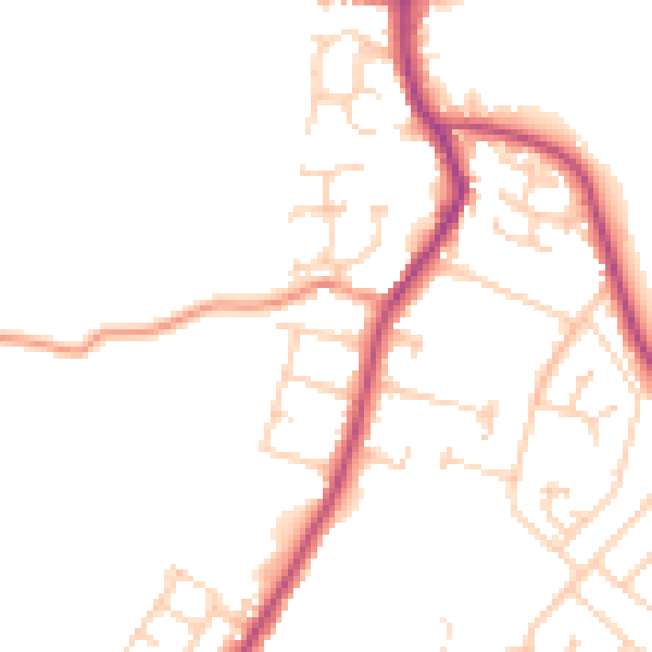
Daytime· 07:00 – 23:00
48.0dB

Night-time· 23:00 – 07:00
39.7dB