2 Turnshaw Avenue, Aughton, Sheffield, S26 3XQ
About 2 Turnshaw Avenue
2 Turnshaw Avenue is a semi-detached house in Aughton, Sheffield, Sheffield (S26 3XQ). It has a recorded floor area of 69 m² (around 743 sq ft), construction records dating it to 1930-1949 and council tax band A. The latest certificate (October 2020) shows a D (score 63), on the cusp of jumping into the C band. The rating has held steady at D across 2 certificates since October 2009. Between certificates, wall efficiency dropped from Good to Average and roof efficiency dropped from Very Good to Good. The recommended improvements would lift it to B (score 85), a 2-band jump.
Across 2010–2016, sale prices on this property compounded at 3.4% per year. Today's modelled estimate of £148,000 is 23.2% above the 2016 sale price. On a £-per-square-foot basis, the last sale (£162/sq ft) was about 18.3% above the typical sold price in the postcode. 10 years since the last transfer (January 2016).
Everything you need to know about 2 Turnshaw Avenue
The true value, the hidden risks and the full sale history, in one report.
30-day money-back guarantee

The data behind every report


Energy performance
Recommended upgrades on file would lift this property by multiple EPC bands.
EPC Rating
Planning history
2 Turnshaw Avenue has no planning applications on record.
The full report still covers planning activity across the surrounding area.
Sales history & valuation
2 Turnshaw Avenue valuation sits well clear of the typical sold price in this postcode.
£148,000
Modelled from EPC, postcode comparables and a sale-price growth of 3.4% per year over 6 years.
£120,150
Growth on file: 3.4% per year over 6 years.
Sales timeline
13 January 2016Most recent
£120,150
+20.2%over 5 years27 June 2010
£100,000
Median price across the last 5 sales in S26 3XQ: £137,000 (2024–2008).
Nearby sales in S26 3XQ
7 Turnshaw Avenue, Aughton, Sheffield, S26 3XQ
Sold Aug 2024
£137,00015 Turnshaw Avenue, Aughton, Sheffield, S26 3XQ
Sold Apr 2023
£180,0005 Turnshaw Avenue, Aughton, Sheffield, S26 3XQ
Sold Feb 2016
£141,5004 Turnshaw Avenue, Aughton, Sheffield, S26 3XQ
Sold Feb 2013
£88,5001 Turnshaw Avenue, Aughton, Sheffield, S26 3XQ
Sold Jan 2008
£117,000
Versus other Turnshaw Avenue homes
2 Turnshaw Avenue is notably below the street on floor area.
Price per m²
£1,741
Street avg £1,564
Floor Area
69 m²
Street avg 75 m²
Habitable Rooms
4 rooms
Street avg 5 rooms
CO₂ Emissions
3.8 t/year
Street avg 3.9 t/year
Everything you need to know about 2 Turnshaw Avenue
The true value, the hidden risks and the full sale history, in one report.
30-day money-back guarantee
The data behind every report
Similar properties nearby
The neighbourhood at a glance
Daytime road noise here sits well below conversation level — a quiet pocket of the postcode.
Crime
4/mo
Steady year-on-year across the wider district.
Nearest stop
0.1 km
Turnshaw Avenue/Heighton View — bus stop.
Closest school
0.1 km
Aughton Primary Academy. 9 schools nearby.
Go deeper on the local area
The full report breaks down crime, transport links, schools and air quality in depth.
Road noise across the postcode
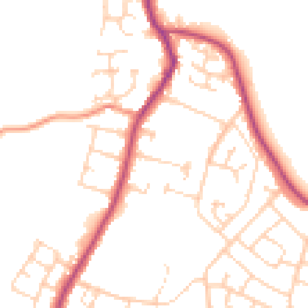
Daytime· 07:00 – 23:00
49.3dB

Night-time· 23:00 – 07:00
40.4dB