2 Hallam Close, Aughton, Sheffield, S26 3RX
About 2 Hallam Close
2 Hallam Close is a three-bedroom semi-detached house in Aughton, Sheffield, Sheffield (S26 3RX). It has a recorded floor area of 89 m² (around 958 sq ft), construction records dating it to 1967-1975 and council tax band A. The latest certificate (August 2022) shows a D (score 62), on the cusp of jumping into the C band. The recommended improvements would lift it to B (score 83), a 2-band jump.
Today's modelled estimate of £158,000 is 31.7% above the 2023 sale price. Most recent transfer: November 2023 at £120,000.
What this property has
Inside
- Bedrooms3
- Bathrooms1
Everything you need to know about 2 Hallam Close
The true value, the hidden risks and the full sale history, in one report.
30-day money-back guarantee

The data behind every report


Energy performance
Recommended upgrades on file would lift this property by multiple EPC bands.
EPC Rating
Planning history
2 Hallam Close has no planning applications on record.
The full report still covers planning activity across the surrounding area.
Sales history & valuation
£158,000
Modelled from EPC, postcode comparables.
£120,000
Recorded with HM Land Registry.
Sales timeline
15 November 2023Most recent
£120,000
Everything you need to know about 2 Hallam Close
The true value, the hidden risks and the full sale history, in one report.
30-day money-back guarantee
The data behind every report
Similar properties nearby
1 Aughton Mews, Main Street, Aughton
S26 3YN
1 Nascot Gardens, Aughton
S26 3RZ
1 Coral Close, Aughton
S26 3RB
1 Ambler Rise, Aughton
S26 3RH
1 Turnshaw Road, Ulley
S26 3YG
1 Walpole Grove, Swallownest
S26 3RU
1 Heighton View, Aughton
S26 3NT
1 Poynton Way, Ulley
S26 3YJ
The neighbourhood at a glance
Daytime road noise here sits well below conversation level — a quiet pocket of the postcode.
Crime
4/mo
Steady year-on-year across the wider district.
Nearest stop
0.1 km
Aughton Road/Aughton Avenue — bus stop.
Closest school
0.2 km
Aston Academy. 13 schools nearby.
Go deeper on the local area
The full report breaks down crime, transport links, schools and air quality in depth.
Road noise across the postcode
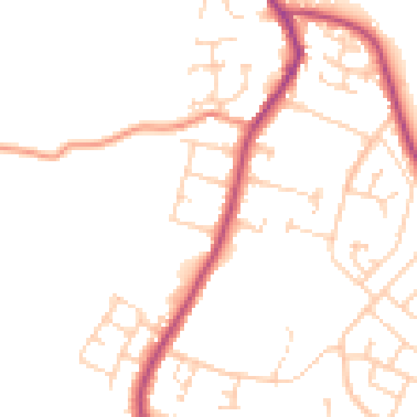
Daytime· 07:00 – 23:00
48.0dB

Night-time· 23:00 – 07:00
39.3dB