6 Coral Place, Aughton, Sheffield, S26 3RT
About 6 Coral Place
6 Coral Place is a property in Aughton, Sheffield, Sheffield (S26 3RT). It has council tax band E.
Untraded for 19 years, with the last transfer in May 2007. That sale landed at the peak of the pre-credit-crunch market, which is a useful reference point when interpreting the price. Across 2002–2007, sale prices on this property compounded at 14.1% per year.
Everything you need to know about 6 Coral Place
The true value, the hidden risks and the full sale history, in one report.
30-day money-back guarantee

The data behind every report


Energy performance
No EPC on record
This property doesn't have an Energy Performance Certificate yet. An EPC is required to sell or let — and unlocks our automated valuation.
Planning history
6 Coral Place has no planning applications on record.
The full report still covers planning activity across the surrounding area.
Sales history & valuation
The latest sale landed at the peak of the pre-credit-crunch market — a high-water reference point.
£275,000
Growth on file: 14.1% per year over 5 years.
Sales timeline
24 May 2007Most recent
£275,000
+96.4%over 5 years11 April 2002
£140,000
Median price across the last 5 sales in S26 3RT: £163,000 (2023–2014).
Nearby sales in S26 3RT
2 Coral Place, Aughton, Sheffield, S26 3RT
Sold Dec 2023
£290,0008 Coral Place, Aughton, Sheffield, S26 3RT
Sold Feb 2022
£135,0004 Coral Place, Aughton, Sheffield, S26 3RT
Sold May 2017
£160,0003 Coral Place, Aughton, Sheffield, S26 3RT
Sold Aug 2014
£163,0001 Coral Place, Aughton, Sheffield, S26 3RT
Sold Aug 1999
£84,950
Everything you need to know about 6 Coral Place
The true value, the hidden risks and the full sale history, in one report.
30-day money-back guarantee
The data behind every report
Similar properties nearby
1 Coral Place, Aughton
S26 3RT
1 Martin Close, Aughton
S26 3RJ
1 Daniels Drive, Aughton
S26 3RG
1 Ambler Rise, Aughton
S26 3RH
1 Aughton Mews, Main Street, Aughton
S26 3YN
1 Aston Close, Swallownest
S26 3SB
1 Coral Close, Aughton
S26 3RB
1 Nascot Gardens, Aughton
S26 3RZ
The neighbourhood at a glance
Crime
4/mo
Steady year-on-year across the wider district.
Nearest stop
0.1 km
Main Street/Coral Drive — bus stop.
Closest school
0.4 km
Aughton Primary Academy. 9 schools nearby.
Go deeper on the local area
The full report breaks down crime, transport links, schools and air quality in depth.
Road noise across the postcode
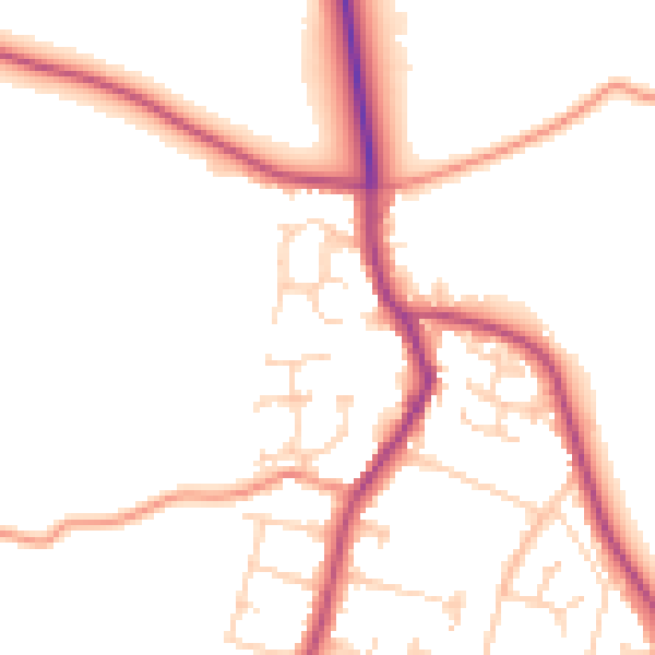
Daytime· 07:00 – 23:00
50.4dB

Night-time· 23:00 – 07:00
42.4dB