3 Martin Close, Aughton, Sheffield, S26 3RJ
About 3 Martin Close
3 Martin Close is a property in Aughton, Sheffield, Sheffield (S26 3RJ). It has council tax band D.
Untraded for 16 years, with the last transfer in May 2010.
Everything you need to know about 3 Martin Close
The true value, the hidden risks and the full sale history, in one report.
30-day money-back guarantee

The data behind every report


Energy performance
No EPC on record
This property doesn't have an Energy Performance Certificate yet. An EPC is required to sell or let — and unlocks our automated valuation.
Planning history
3 Martin Close has no planning applications on record.
The full report still covers planning activity across the surrounding area.
Sales history & valuation
£86,000
Recorded with HM Land Registry.
Sales timeline
27 May 2010Most recent
£86,000
Median price across the last 5 sales in S26 3RJ: £310,000 (2025–2021).
Nearby sales in S26 3RJ
42 Martin Close, Aughton, Sheffield, S26 3RJ
Sold Aug 2025
£370,0002 Martin Close, Aughton, Sheffield, S26 3RJ
Sold Jun 2024
£310,0004 Martin Close, Aughton, Sheffield, S26 3RJ
Sold Apr 2024
£282,00061 Martin Close, Aughton, Sheffield, S26 3RJ
Sold Mar 2023
£340,00033 Martin Close, Aughton, Sheffield, S26 3RJ
Sold Jun 2021
£270,000
Everything you need to know about 3 Martin Close
The true value, the hidden risks and the full sale history, in one report.
30-day money-back guarantee
The data behind every report
Similar properties nearby
1 Ricknald Close, Aughton
S26 3XZ
1 Mason Avenue, Swallownest
S26 3UF
1 Alderson Close, Swallownest
S26 3NF
1 Gray Avenue, Swallownest
S26 3UZ
1 Mason Drive, Swallownest
S26 3RW
1 Grange Avenue, Aughton
S26 3XF
1 Heighton View, Aughton
S26 3NT
1 Walpole Grove, Swallownest
S26 3RU
The neighbourhood at a glance
Daytime road noise here sits well below conversation level — a quiet pocket of the postcode.
Crime
4/mo
Steady year-on-year across the wider district.
Nearest stop
0.2 km
Main Street/Aston Lane — bus stop.
Closest school
0.3 km
Aughton Primary Academy. 9 schools nearby.
Go deeper on the local area
The full report breaks down crime, transport links, schools and air quality in depth.
Road noise across the postcode
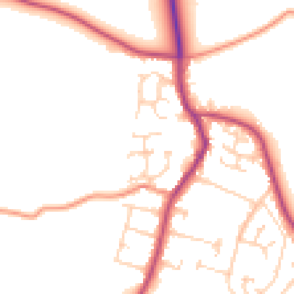
Daytime· 07:00 – 23:00
49.7dB

Night-time· 23:00 – 07:00
41.6dB