16 Ambler Rise, Aughton, Sheffield, S26 3RH
About 16 Ambler Rise
16 Ambler Rise is a four-bedroom property in Aughton, Sheffield, Sheffield (S26 3RH). It has council tax band D. The home occupies a corner plot and a cul-de-sac position.
Untraded for 17 years, with the last transfer in August 2009. That sale fell during the post-crash dip, which often skews comparisons against later neighbouring sales. Across 2005–2009, sale prices on this property compounded at 4.2% per year.
What this property has
Inside
- Bedrooms4
- Utility roomYes
- CloakroomYes
- EnsuiteYes
Outside
- Private gardenYes
- GarageIntegral
- Corner plotYes
- Cul-de-sacYes
Everything you need to know about 16 Ambler Rise
The true value, the hidden risks and the full sale history, in one report.
30-day money-back guarantee

The data behind every report


Energy performance
No EPC on record
This property doesn't have an Energy Performance Certificate yet. An EPC is required to sell or let — and unlocks our automated valuation.
Planning history
16 Ambler Rise has no planning applications on record.
The full report still covers planning activity across the surrounding area.
Sales history & valuation
16 Ambler Rise saw 3 transfers in just over a decade — high turnover for the postcode.
£210,000
Growth on file: 4.2% per year over 4 years.
Sales timeline
27 August 2009Most recent
£210,000
+16.7%over 3 years30 May 2006
£180,000
25 November 2005
£180,000
Median price across the last 5 sales in S26 3RH: £325,000 (2025–2023).
Nearby sales in S26 3RH
17 Ambler Rise, Aughton, Sheffield, S26 3RH
Sold Feb 2025
£337,0001 Ambler Rise, Aughton, Sheffield, S26 3RH
Sold Jan 2025
£340,00034 Ambler Rise, Aughton, Sheffield, S26 3RH
Sold Apr 2024
£325,00030 Ambler Rise, Aughton, Sheffield, S26 3RH
Sold Feb 2024
£295,0005 Ambler Rise, Aughton, Sheffield, S26 3RH
Sold Dec 2023
£300,000
Everything you need to know about 16 Ambler Rise
The true value, the hidden risks and the full sale history, in one report.
30-day money-back guarantee
The data behind every report
Similar properties nearby
1 Ambler Rise, Aughton
S26 3RH
1 Turnshaw Road, Ulley
S26 3YG
1 Aughton Mews, Main Street, Aughton
S26 3YN
1 Nascot Gardens, Aughton
S26 3RZ
1 Main Street, Ulley
S26 3YD
1 Coral Close, Aughton
S26 3RB
1 Daniels Drive, Aughton
S26 3RG
1 Martin Close, Aughton
S26 3RJ
The neighbourhood at a glance
Daytime road noise here sits well below conversation level — a quiet pocket of the postcode.
Crime
4/mo
Steady year-on-year across the wider district.
Nearest stop
0.1 km
Aughton Road/Westfield Avenue — bus stop.
Closest school
0.3 km
Aughton Primary Academy. 9 schools nearby.
Go deeper on the local area
The full report breaks down crime, transport links, schools and air quality in depth.
Road noise across the postcode
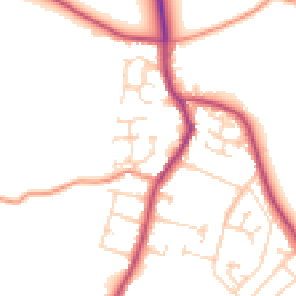
Daytime· 07:00 – 23:00
49.6dB

Night-time· 23:00 – 07:00
41.4dB