14 Daniels Drive, Aughton, Sheffield, S26 3RG
About 14 Daniels Drive
14 Daniels Drive is a four-bedroom property in Aughton, Sheffield, Sheffield (S26 3RG). It has council tax band E. Other recorded features include a conservatory.
It hasn't traded since April 2007, a hold of 19 years that's notably long for the area. That sale landed at the peak of the pre-credit-crunch market, which is a useful reference point when interpreting the price.
What this property has
Inside
- Bedrooms4
- Dining roomYes
- CloakroomYes
- EnsuiteYes
- ConservatoryYes
Outside
- GarageDouble
Everything you need to know about 14 Daniels Drive
The true value, the hidden risks and the full sale history, in one report.
30-day money-back guarantee

The data behind every report


Energy performance
No EPC on record
This property doesn't have an Energy Performance Certificate yet. An EPC is required to sell or let — and unlocks our automated valuation.
Planning history
14 Daniels Drive has no planning applications on record.
The full report still covers planning activity across the surrounding area.
Sales history & valuation
The latest sale landed at the peak of the pre-credit-crunch market — a high-water reference point.
£249,950
Recorded with HM Land Registry.
Sales timeline
4 April 2007Most recent
£249,950
Median price across the last 5 sales in S26 3RG: £310,000 (2024–2019).
Nearby sales in S26 3RG
7 Daniels Drive, Aughton, Sheffield, S26 3RG
Sold Nov 2024
£310,00011 Daniels Drive, Aughton, Sheffield, S26 3RG
Sold Mar 2024
£385,00010 Daniels Drive, Aughton, Sheffield, S26 3RG
Sold Jan 2024
£320,0002 Daniels Drive, Aughton, Sheffield, S26 3RG
Sold Mar 2021
£207,0005 Daniels Drive, Aughton, Sheffield, S26 3RG
Sold Jun 2014
£216,900
Everything you need to know about 14 Daniels Drive
The true value, the hidden risks and the full sale history, in one report.
30-day money-back guarantee
The data behind every report
Similar properties nearby
1 Ambler Rise, Aughton
S26 3RH
1 Turnshaw Road, Ulley
S26 3YG
1 Nascot Gardens, Aughton
S26 3RZ
1 Aughton Mews, Main Street, Aughton
S26 3YN
1 Main Street, Ulley
S26 3YD
1 Coral Close, Aughton
S26 3RB
1 Daniels Drive, Aughton
S26 3RG
1 Martin Close, Aughton
S26 3RJ
The neighbourhood at a glance
Daytime road noise here sits well below conversation level — a quiet pocket of the postcode.
Crime
4/mo
Steady year-on-year across the wider district.
Nearest stop
0.2 km
Aughton Road/Westfield Avenue — bus stop.
Closest school
0.3 km
Aughton Primary Academy. 9 schools nearby.
Go deeper on the local area
The full report breaks down crime, transport links, schools and air quality in depth.
Road noise across the postcode
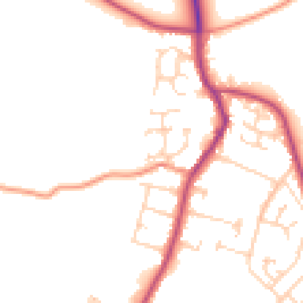
Daytime· 07:00 – 23:00
48.5dB

Night-time· 23:00 – 07:00
40.4dB