16 Eagle View, Aston, Sheffield, S26 2GL
About 16 Eagle View
16 Eagle View is a detached house in Aston, Sheffield, Sheffield (S26 2GL). It has a recorded floor area of 106 m² (around 1141 sq ft), construction records dating it to 1967-1975 and council tax band D. The latest certificate (December 2015) shows a D (score 64), on the cusp of jumping into the C band. The recommended improvements would push it to C (score 79). The latest certificate is from December 2015, so improvements made since then won't be reflected.
Untraded for 24 years, with the last transfer in March 2002. At 106 m² the property is well over the postcode median (79 m² across 16 EPCs), placing it in the larger end of the local stock. Today's modelled estimate of £287,000 sits 245.8% above the 2002 sale of £83,000. On a £-per-square-foot basis, the last sale (£73/sq ft) was about 55.9% below the postcode norm.
Everything you need to know about 16 Eagle View
The true value, the hidden risks and the full sale history, in one report.
30-day money-back guarantee

The data behind every report


Energy performance
EPC Expired
This certificate is over 10 years old and is no longer valid.Expired 18 Dec 2025
EPC Rating
Planning history
16 Eagle View has no planning applications on record.
The full report still covers planning activity across the surrounding area.
Sales history & valuation
16 Eagle View's estimated value is more than triple its earliest registered sale price (2002).
£287,000
Modelled from EPC, postcode comparables.
£83,000
Recorded with HM Land Registry.
Sales timeline
28 March 2002Most recent
£83,000
Median price across the last 5 sales in S26 2GL: £185,000 (2024–2018).
Nearby sales in S26 2GL
8 Eagle View, Aston, Sheffield, S26 2GL
Sold Apr 2024
£192,50040 Eagle View, Aston, Sheffield, S26 2GL
Sold May 2022
£260,00026 Eagle View, Aston, Sheffield, S26 2GL
Sold Jun 2021
£180,00011 Eagle View, Aston, Sheffield, S26 2GL
Sold Oct 2019
£155,00034 Eagle View, Aston, Sheffield, S26 2GL
Sold Aug 2018
£185,000
Versus other Eagle View homes
16 Eagle View outperforms the street on floor area by a wide margin.
Price per m²
£783
Street avg £1,961
Floor Area
106 m²
Street avg 81 m²
Habitable Rooms
6 rooms
Street avg 5 rooms
CO₂ Emissions
4.8 t/year
Street avg 3.7 t/year
Everything you need to know about 16 Eagle View
The true value, the hidden risks and the full sale history, in one report.
30-day money-back guarantee
The data behind every report
Similar properties nearby
1 Grange Farm Drive, Aston
S26 2GY
1 Aylsham Drive, Aston
S26 2FQ
1 Chatsworth Close, Aston
S26 2GA
1 Church View, Aston
S26 2FE
1 Clumber Rise, Aston
S26 2ES
1 Doctors Row, Hepworth Drive, Aston
S26 2GZ
1 Finch Rise, Aston
S26 2GE
1 Brook Close, Aston
S26 2GB
The neighbourhood at a glance
Crime
4/mo
Steady year-on-year across the wider district.
Nearest stop
0.2 km
Mansfield Road/Osprey Road — bus stop.
Closest school
0.4 km
Aston Lodge Primary School. 14 schools nearby.
Go deeper on the local area
The full report breaks down crime, transport links, schools and air quality in depth.
Road noise across the postcode
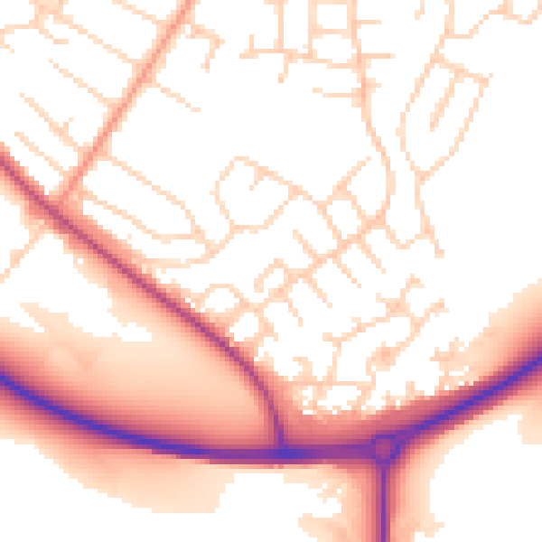
Daytime· 07:00 – 23:00
53.8dB

Night-time· 23:00 – 07:00
44.5dB