9 Dove Lane, Aston, Sheffield, S26 2GJ
About 9 Dove Lane
9 Dove Lane is a four-bedroom semi-detached house in Aston, Sheffield, Sheffield (S26 2GJ). It has a recorded floor area of 98 m² (around 1058 sq ft), construction records dating it to 1967-1975 and council tax band B. The latest certificate (November 2008) shows a D (score 67), on the cusp of jumping into the C band. The recommended improvements would push it to C (score 73). The latest certificate is from November 2008, so improvements made since then won't be reflected. Records show the property has been extended at some point in its history. The home occupies a cul-de-sac position.
At 98 m² the property is well over the postcode median (72 m² across 7 EPCs), placing it in the larger end of the local stock. Today's modelled estimate of £252,000 is 48.2% above the 2016 sale price. On a £-per-square-foot basis, the last sale (£161/sq ft) was about 18.5% above the typical sold price in the postcode. On the market in August 2016 and unlisted since — roughly 10 years.
What this property has
Inside
- Bedrooms4
- Bathrooms1
- Utility roomYes
- CloakroomYes
Outside
- Private gardenRear
- GarageYes
- Cul-de-sacYes
Building
- Previously extendedYes
Everything you need to know about 9 Dove Lane
The true value, the hidden risks and the full sale history, in one report.
30-day money-back guarantee

The data behind every report


Energy performance
9 Dove Lane's EPC is over a decade old — improvements since won't be reflected.
EPC Expired
This certificate is over 10 years old and is no longer valid.Expired 14 Nov 2018
EPC Rating
Planning history
9 Dove Lane has no planning applications on record.
The full report still covers planning activity across the surrounding area.
Sales history & valuation
9 Dove Lane valuation sits well clear of the typical sold price in this postcode.
£252,000
Modelled from EPC, postcode comparables.
£170,000
Recorded with HM Land Registry.
Sales timeline
18 August 2016Most recent
£170,000
Median price across the last 5 sales in S26 2GJ: £198,000 (2024–2015).
Nearby sales in S26 2GJ
Versus other Dove Lane homes
Floor Area for 9 Dove Lane runs comfortably ahead of the street norm.
Price per m²
£1,730
Street avg £2,033
Floor Area
98 m²
Street avg 78 m²
Habitable Rooms
6 rooms
Street avg 4 rooms
CO₂ Emissions
4.1 t/year
Street avg 3.6 t/year
Everything you need to know about 9 Dove Lane
The true value, the hidden risks and the full sale history, in one report.
30-day money-back guarantee
The data behind every report
Similar properties nearby
1 Brook Close, Aston
S26 2GB
1 Christchurch Avenue, Aston
S26 2AW
1 Church View, Aston
S26 2FE
1 Duckham Drive, Aston
S26 2DZ
1 Aylsham Drive, Aston
S26 2FQ
1 Arlington Avenue, Aston
S26 2AA
1 Grange Farm Drive, Aston
S26 2GY
1 Bramley Avenue, Aston
S26 2AQ
The neighbourhood at a glance
Crime
4/mo
Steady year-on-year across the wider district.
Nearest stop
0.1 km
Mansfield Road/Dove Lane — bus stop.
Closest school
0.5 km
Aston Lodge Primary School. 14 schools nearby.
Go deeper on the local area
The full report breaks down crime, transport links, schools and air quality in depth.
Road noise across the postcode
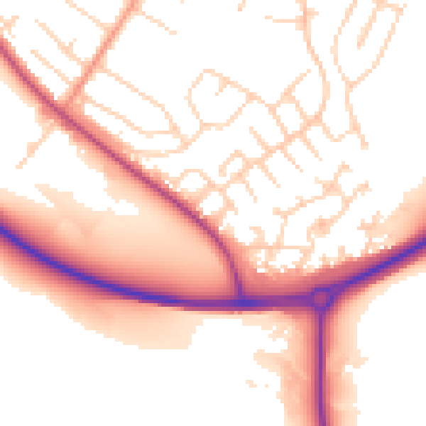
Daytime· 07:00 – 23:00
53.8dB

Night-time· 23:00 – 07:00
45.2dB