43 Chatsworth Close, Aston, Sheffield, S26 2GA
About 43 Chatsworth Close
43 Chatsworth Close is a three-bedroom detached house in Aston, Sheffield, Sheffield (S26 2GA). It has a recorded floor area of 80 m² (around 861 sq ft), construction records dating it to 1967-1975 and council tax band C. The latest certificate (May 2014) shows a D (score 58), a step below the typical UK home. The recommended improvements would lift it to B (score 83), a 2-band jump. The latest certificate is from May 2014, so improvements made since then won't be reflected.
Today's modelled estimate of £285,000 is 46.2% above the 2020 sale price. Most recent transfer: July 2020 at £195,000.
What this property has
Inside
- Bedrooms3
- Bathrooms1
Outside
- Private gardenYes
- GarageDouble
Building
- RefurbishedYes
Everything you need to know about 43 Chatsworth Close
The true value, the hidden risks and the full sale history, in one report.
30-day money-back guarantee

The data behind every report


Energy performance
Recommended upgrades on file would lift this property by multiple EPC bands.
EPC Expired
This certificate is over 10 years old and is no longer valid.Expired 19 May 2024
EPC Rating
Planning history
43 Chatsworth Close has no planning applications on record.
The full report still covers planning activity across the surrounding area.
Sales history & valuation
The latest sale landed in the post-pandemic price surge — useful context when reading the figure.
£285,000
Modelled from EPC, postcode comparables.
£195,000
Recorded with HM Land Registry.
Sales timeline
9 July 2020Most recent
£195,000
Median price across the last 5 sales in S26 2GA: £220,000 (2024–2021).
Nearby sales in S26 2GA
51 Chatsworth Close, Aston, Sheffield, S26 2GA
Sold Dec 2024
£191,65030 Chatsworth Close, Aston, Sheffield, S26 2GA
Sold May 2023
£235,00039 Chatsworth Close, Aston, Sheffield, S26 2GA
Sold Jun 2022
£229,00032 Chatsworth Close, Aston, Sheffield, S26 2GA
Sold Oct 2021
£220,0005 Chatsworth Close, Aston, Sheffield, S26 2GA
Sold Sept 2021
£210,000
Versus other Chatsworth Close homes
On floor area, 43 Chatsworth Close stands well clear of the street.
Price per m²
£2,438
Street avg £2,317
Floor Area
80 m²
Street avg 73 m²
Habitable Rooms
4 rooms
Street avg 4 rooms
CO₂ Emissions
4.2 t/year
Street avg 4.1 t/year
Everything you need to know about 43 Chatsworth Close
The true value, the hidden risks and the full sale history, in one report.
30-day money-back guarantee
The data behind every report
Similar properties nearby
1 Grange Farm Drive, Aston
S26 2GY
1 Aylsham Drive, Aston
S26 2FQ
1 Church View, Aston
S26 2FE
1 Duckham Drive, Aston
S26 2DZ
1 Arlington Avenue, Aston
S26 2AA
1 Bramley Avenue, Aston
S26 2AQ
1 Eagle View, Aston
S26 2GL
1 Chelmsford Avenue, Aston
S26 2AU
The neighbourhood at a glance
Daytime road noise here sits well below conversation level — a quiet pocket of the postcode.
Crime
4/mo
Steady year-on-year across the wider district.
Nearest stop
0.1 km
Worksop Road/North Farm Court — bus stop.
Closest school
0.4 km
Aston All Saints CofE (A) Primary School. 13 schools nearby.
Go deeper on the local area
The full report breaks down crime, transport links, schools and air quality in depth.
Road noise across the postcode
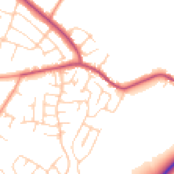
Daytime· 07:00 – 23:00
49.7dB

Night-time· 23:00 – 07:00
40.6dB