7 Burford Crescent, Aston, Sheffield, S26 2FH
About 7 Burford Crescent
7 Burford Crescent is a three-bedroom semi-detached house in Aston, Sheffield, Sheffield (S26 2FH). It has a recorded floor area of 77 m² (around 827 sq ft), construction records dating it to 1967-1975 and council tax band B. The latest certificate (March 2009) shows an E (score 44), well below the UK norm with real room to improve. The recommended improvements would lift it to C (score 75), a 2-band jump. The latest certificate is from March 2009, so improvements made since then won't be reflected. The home occupies a cul-de-sac position.
It hasn't traded since July 2009, a hold of 17 years that's notably long for the area. That sale fell during the post-crash dip, which often skews comparisons against later neighbouring sales. Today's modelled estimate of £188,000 sits 50.4% above the 2009 sale of £125,000.
What this property has
Inside
- Bedrooms3
Outside
- Private gardenYes
- GarageYes
- Cul-de-sacYes
Building
- Central heatingYes
Everything you need to know about 7 Burford Crescent
The true value, the hidden risks and the full sale history, in one report.
30-day money-back guarantee

The data behind every report


Energy performance
7 Burford Crescent's carbon output runs well above what efficient homes in the postcode produce.
EPC Expired
This certificate is over 10 years old and is no longer valid.Expired 16 Mar 2019
EPC Rating
Planning history
7 Burford Crescent has no planning applications on record.
The full report still covers planning activity across the surrounding area.
Sales history & valuation
The latest sale fell during the post-2008 dip, often a low-water mark in price comparisons.
£188,000
Modelled from EPC, postcode comparables.
£125,000
Recorded with HM Land Registry.
Sales timeline
15 July 2009Most recent
£125,000
Median price across the last 3 sales in S26 2FH: £79,500 (2003–1995).
Everything you need to know about 7 Burford Crescent
The true value, the hidden risks and the full sale history, in one report.
30-day money-back guarantee
The data behind every report
Similar properties nearby
1 Chelmsford Avenue, Aston
S26 2AU
1 Eagle View, Aston
S26 2GL
1 Bramley Avenue, Aston
S26 2AQ
1 Arlington Avenue, Aston
S26 2AA
1 Duckham Drive, Aston
S26 2DZ
1 Church View, Aston
S26 2FE
1 Aylsham Drive, Aston
S26 2FQ
1 Grange Farm Drive, Aston
S26 2GY
The neighbourhood at a glance
Crime
4/mo
Steady year-on-year across the wider district.
Nearest stop
0.4 km
Worksop Road/The Chase — bus stop.
Closest school
0.3 km
Aston Hall Junior and Infant School. 14 schools nearby.
Go deeper on the local area
The full report breaks down crime, transport links, schools and air quality in depth.
Road noise across the postcode
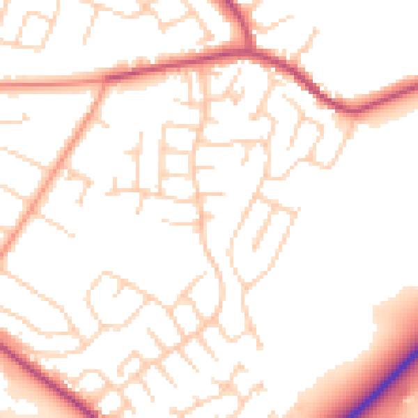
Daytime· 07:00 – 23:00
51.3dB

Night-time· 23:00 – 07:00
41.5dB