18 Bramley Avenue, Aston, Sheffield, S26 2AQ
About 18 Bramley Avenue
18 Bramley Avenue is a detached house in Aston, Sheffield, Sheffield (S26 2AQ). It has a recorded floor area of 103 m² (around 1109 sq ft), construction records dating it to 1950-1966 and council tax band D. The latest certificate (February 2018) shows a D (score 66), on the cusp of jumping into the C band. The recommended improvements would push it to C (score 79).
Today's modelled estimate of £343,000 is 39.4% above the 2018 sale price. On a £-per-square-foot basis, the last sale (£222/sq ft) was about 28.9% above the typical sold price in the postcode. Sold July 2018 for £246,000.
Everything you need to know about 18 Bramley Avenue
The true value, the hidden risks and the full sale history, in one report.
30-day money-back guarantee

The data behind every report


Energy performance
EPC Rating
Planning history
18 Bramley Avenue has no planning applications on record.
The full report still covers planning activity across the surrounding area.
Sales history & valuation
18 Bramley Avenue valuation sits well clear of the typical sold price in this postcode.
£343,000
Modelled from EPC, postcode comparables.
£246,000
Recorded with HM Land Registry.
Sales timeline
19 July 2018Most recent
£246,000
Median price across the last 5 sales in S26 2AQ: £205,000 (2025–2019).
Nearby sales in S26 2AQ
1 Bramley Avenue, Aston, Sheffield, S26 2AQ
Sold Feb 2025
£182,00019 Bramley Avenue, Aston, Sheffield, S26 2AQ
Sold Aug 2024
£265,00026 Bramley Avenue, Aston, Sheffield, S26 2AQ
Sold Jul 2022
£320,00010 Bramley Avenue, Aston, Sheffield, S26 2AQ
Sold Mar 2020
£190,0005 Bramley Avenue, Aston, Sheffield, S26 2AQ
Sold Jul 2019
£205,000
Versus other Bramley Avenue homes
Price per m² for 18 Bramley Avenue runs comfortably ahead of the street norm.
Price per m²
£2,388
Street avg £1,942
Floor Area
103 m²
Street avg 101 m²
Habitable Rooms
6 rooms
Street avg 6 rooms
CO₂ Emissions
4.0 t/year
Street avg 4.9 t/year
Everything you need to know about 18 Bramley Avenue
The true value, the hidden risks and the full sale history, in one report.
30-day money-back guarantee
The data behind every report
Similar properties nearby
1 Aughton Lane, Aston
S26 2AG
1 Brook Close, Aston
S26 2GB
1 Finch Rise, Aston
S26 2GE
1 Christchurch Avenue, Aston
S26 2AW
1 Chatsworth Close, Aston
S26 2GA
1 Grange Farm Rise, Aston
S26 2AF
1 Fairfields Grove, Aston
S26 2DL
1 Fairfields Way, Aston
S26 2HB
The neighbourhood at a glance
Crime
4/mo
Steady year-on-year across the wider district.
Nearest stop
0.1 km
Worksop Road/Lodge Lane — bus stop.
Closest school
0.2 km
Aston All Saints CofE (A) Primary School. 11 schools nearby.
Go deeper on the local area
The full report breaks down crime, transport links, schools and air quality in depth.
Road noise across the postcode
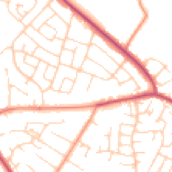
Daytime· 07:00 – 23:00
50.7dB

Night-time· 23:00 – 07:00
39.8dB